Distance to Glover Crossroad, Tennessee

Calculating Your Route
Just a moment while we process your request...
Location Information
-
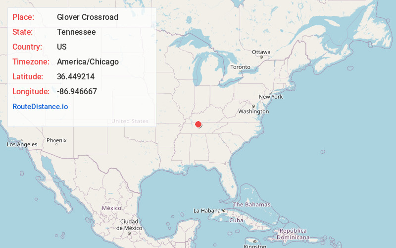
Full AddressGlover Crossroad, TN 37172
-
Coordinates36.4492141, -86.9466665
-
LocationTennessee , US
-
TimezoneAmerica/Chicago
-
Current Local Time10:18:18 PM America/ChicagoThursday, June 19, 2025
-
Page Views0
Nearby Places
Found 10 places within 50 miles

Coopertown
1.4 mi
2.3 km
Coopertown, TN
Get directions

Springfield
5.4 mi
8.7 km
Springfield, TN 37172
Get directions

Turnersville
5.8 mi
9.3 km
Turnersville, TN 37032
Get directions
Courtland
5.9 mi
9.5 km
Courtland, Springfield, TN 37172
Get directions

Pleasant View
6.3 mi
10.1 km
Pleasant View, TN
Get directions
Mt Denson
7.2 mi
11.6 km
Mt Denson, Springfield, TN 37172
Get directions

Cedar Hill
7.6 mi
12.2 km
Cedar Hill, TN 37032
Get directions

Greenbrier
8.0 mi
12.9 km
Greenbrier, TN 37073
Get directions
Hygeia Springs
9.0 mi
14.5 km
Hygeia Springs, Greenbrier, TN 37073
Get directions

Ridgetop
10.0 mi
16.1 km
Ridgetop, TN
Get directions
Location Links
Local Weather
Weather Information
Coming soon!
Location Map
Static map view of Glover Crossroad, Tennessee
Browse Places by Distance
Places within specific distances from Glover Crossroad
Short Distances
Long Distances
Click any distance to see all places within that range from Glover Crossroad. Distances shown in miles (1 mile ≈ 1.61 kilometers).