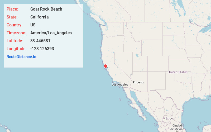
Distance to Goat Rock Beach, California

Calculating Your Route
Just a moment while we process your request...
Location Information
-
Full AddressGoat Rock Beach, Jenner, CA 95450
-
Coordinates38.446581, -123.1263926
-
LocationJenner , California , US
-
TimezoneAmerica/Los_Angeles
-
Current Local Time11:52:35 AM America/Los_AngelesWednesday, May 21, 2025
-
Page Views0
About Goat Rock Beach
Long stretch of sandy beach with weathered boulders, active waves, seal sightings & ample parking.


Nearby Places
Found 10 places within 50 miles

Jenner
0.6 mi
1.0 km
Jenner, CA 95450
Get directions

Duncans Mills
3.9 mi
6.3 km
Duncans Mills, CA 95450
Get directions

Sheridan
5.1 mi
8.2 km
Sheridan, CA 95462
Get directions
Sereno del Mar
5.3 mi
8.5 km
Sereno del Mar, CA 94923
Get directions

Carmet
5.9 mi
9.5 km
Carmet, CA 94923
Get directions

Monte Rio
6.4 mi
10.3 km
Monte Rio, CA
Get directions

Salmon Creek
7.5 mi
12.1 km
Salmon Creek, CA 94923
Get directions

Guerneville
8.0 mi
12.9 km
Guerneville, CA 95446
Get directions

Bodega Bay
8.9 mi
14.3 km
Bodega Bay, CA
Get directions

Timber Cove
9.4 mi
15.1 km
Timber Cove, CA
Get directions
Location Links
Local Weather
Weather Information
Coming soon!
Location Map
Static map view of Goat Rock Beach, California
Browse Places by Distance
Places within specific distances from Goat Rock Beach
Short Distances
Long Distances
Click any distance to see all places within that range from Goat Rock Beach. Distances shown in miles (1 mile ≈ 1.61 kilometers).