Distance to Gobler, Missouri

Calculating Your Route
Just a moment while we process your request...
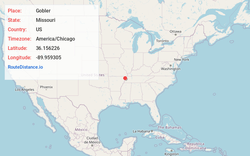
Location Information
-
Full AddressGobler, MO 63849
-
Coordinates36.156226, -89.9593045
-
LocationGobler , Missouri , US
-
TimezoneAmerica/Chicago
-
Current Local Time12:21:13 AM America/ChicagoFriday, June 20, 2025
-
Page Views0
About Gobler
Gobler is an unincorporated community on the border between Dunklin and Pemiscot counties in the U.S. state of Missouri. It is located nineteen miles west-southwest of Caruthersville and seven miles southeast of Kennett.
Nearby Places
Found 10 places within 50 miles

Tinkerville
2.4 mi
3.9 km
Tinkerville, Braggadocio Township, MO 63827
Get directions
Deer Land
2.5 mi
4.0 km
Deer Land, Independence Township, MO 63857
Get directions
Deering
4.9 mi
7.9 km
Deering, MO 63827
Get directions
Rives
5.3 mi
8.5 km
Rives, MO
Get directions
Vincit
6.2 mi
10.0 km
Vincit, Independence Township, MO 63857
Get directions
Samford
6.2 mi
10.0 km
Samford, Virginia Township, MO 63877
Get directions
Scobeville
6.7 mi
10.8 km
Scobeville, Independence Township, MO 63876
Get directions
Channel
6.7 mi
10.8 km
Channel, Virginia Township, MO 63877
Get directions
Kirk
6.8 mi
10.9 km
Kirk, Independence Township, MO 63857
Get directions
Yama
7.2 mi
11.6 km
Yama, MO 63827
Get directions
Location Links
Local Weather
Weather Information
Coming soon!
Location Map
Static map view of Gobler, Missouri
Browse Places by Distance
Places within specific distances from Gobler
Short Distances
Long Distances
Click any distance to see all places within that range from Gobler. Distances shown in miles (1 mile ≈ 1.61 kilometers).