Distance to Goetzville, Michigan

Calculating Your Route
Just a moment while we process your request...
Location Information
-
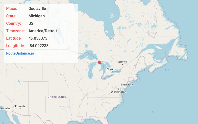
Full AddressGoetzville, MI 49736
-
Coordinates46.0580748, -84.0922377
-
LocationGoetzville , Michigan , US
-
TimezoneAmerica/Detroit
-
Current Local Time7:28:41 AM America/DetroitWednesday, June 4, 2025
-
Page Views0


Nearby Places
Found 10 places within 50 miles

Raber Township
3.9 mi
6.3 km
Raber Township, MI
Get directions

Stalwart
7.5 mi
12.1 km
Stalwart, MI 49736
Get directions

De Tour Village
10.1 mi
16.3 km
De Tour Village, MI 49725
Get directions
Port Dolomite
10.1 mi
16.3 km
Port Dolomite, MI 49719
Get directions

Clark Township
12.0 mi
19.3 km
Clark Township, MI
Get directions
Rockview
13.1 mi
21.1 km
Rockview, MI 49774
Get directions

Pickford Township
13.5 mi
21.7 km
Pickford Township, MI
Get directions

Cedarville
13.6 mi
21.9 km
Cedarville, MI 49719
Get directions
Munuscong
13.7 mi
22.0 km
Munuscong, MI 49710
Get directions
Stirlingville
14.1 mi
22.7 km
Stirlingville, MI 49774
Get directions
Location Links
Local Weather
Weather Information
Coming soon!
Location Map
Static map view of Goetzville, Michigan
Browse Places by Distance
Places within specific distances from Goetzville
Short Distances
Long Distances
Click any distance to see all places within that range from Goetzville. Distances shown in miles (1 mile ≈ 1.61 kilometers).