Distance to Golansville, Virginia

Calculating Your Route
Just a moment while we process your request...
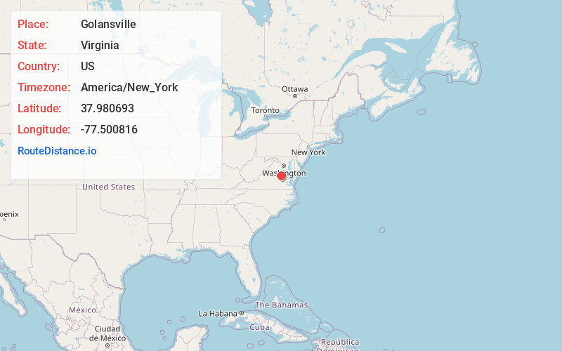
Location Information
-
Full AddressGolansville, VA 22546
-
Coordinates37.9806928, -77.5008155
-
LocationVirginia , US
-
TimezoneAmerica/New_York
-
Current Local Time11:06:48 PM America/New_YorkMonday, June 2, 2025
-
Page Views0
About Golansville
Golansville is an unincorporated community in Caroline County, in the U.S. state of Virginia. It was the site of a Quaker meetinghouse from 1739 until 1853; in 1767 members of the congregation became the first Quakers in Virginia to call for an end to slavery in the United States.
Nearby Places
Found 10 places within 50 miles

Lake Caroline
1.3 mi
2.1 km
Lake Caroline, VA 22546
Get directions

Ruther Glen
4.3 mi
6.9 km
Ruther Glen, VA 22546
Get directions
Blantons
6.0 mi
9.7 km
Blantons, VA 22580
Get directions
Holliday
6.7 mi
10.8 km
Holliday, VA 23015
Get directions
Caroline Pines
6.8 mi
10.9 km
Caroline Pines, VA 22546
Get directions
Welchs
7.6 mi
12.2 km
Welchs, VA 22580
Get directions
Coatesville
9.2 mi
14.8 km
Coatesville, VA 23015
Get directions
Terrell Store
9.5 mi
15.3 km
Terrell Store, VA 23015
Get directions

Bowling Green
9.6 mi
15.4 km
Bowling Green, VA 22427
Get directions
Taylorsville
10.9 mi
17.5 km
Taylorsville, Doswell, VA 23047
Get directions
Location Links
Local Weather
Weather Information
Coming soon!
Location Map
Static map view of Golansville, Virginia
Browse Places by Distance
Places within specific distances from Golansville
Short Distances
Long Distances
Click any distance to see all places within that range from Golansville. Distances shown in miles (1 mile ≈ 1.61 kilometers).