Distance to Gold Branch, Alabama

Calculating Your Route
Just a moment while we process your request...
Location Information
-
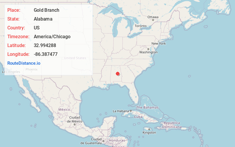
Full AddressGold Branch, AL 35151
-
Coordinates32.9942879, -86.3874766
-
LocationAlabama , US
-
TimezoneAmerica/Chicago
-
Current Local Time11:54:02 PM America/ChicagoFriday, June 6, 2025
-
Page Views0
Nearby Places
Found 10 places within 50 miles

Unity
1.8 mi
2.9 km
Unity, AL 35151
Get directions

Weogufka
4.6 mi
7.4 km
Weogufka, AL 35151
Get directions
Strickland Crossroads
4.7 mi
7.6 km
Strickland Crossroads, AL 35151
Get directions
Moriah
4.8 mi
7.7 km
Moriah, AL 35136
Get directions
Hillwood
5.0 mi
8.0 km
Hillwood, AL 35136
Get directions
Marble Valley
5.1 mi
8.2 km
Marble Valley, AL 35151
Get directions
Bentleyville
7.8 mi
12.6 km
Bentleyville, AL 35151
Get directions
Lyle
7.9 mi
12.7 km
Lyle, AL 35136
Get directions

Talladega Springs
9.4 mi
15.1 km
Talladega Springs, AL 35151
Get directions
Deans
10.1 mi
16.3 km
Deans, AL 35151
Get directions
Location Links
Local Weather
Weather Information
Coming soon!
Location Map
Static map view of Gold Branch, Alabama
Browse Places by Distance
Places within specific distances from Gold Branch
Short Distances
Long Distances
Click any distance to see all places within that range from Gold Branch. Distances shown in miles (1 mile ≈ 1.61 kilometers).