Distance to Goldfield, Colorado

Calculating Your Route
Just a moment while we process your request...
Location Information
-
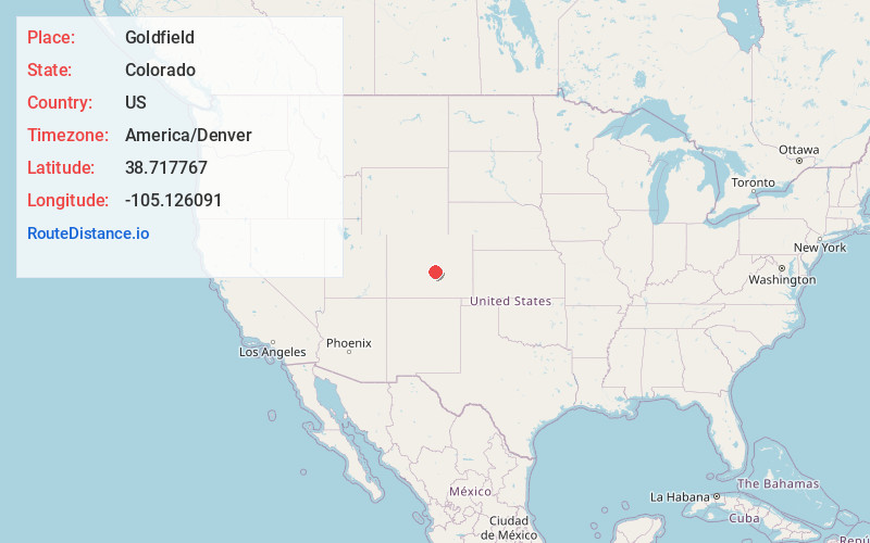
Full AddressGoldfield, CO 80813
-
Coordinates38.7177669, -105.126091
-
LocationGoldfield , Colorado , US
-
TimezoneAmerica/Denver
-
Current Local Time6:17:20 PM America/DenverFriday, June 20, 2025
-
Page Views0
About Goldfield
Goldfield is an unincorporated community and a census-designated place located in and governed by Teller County, Colorado, United States. The CDP is a part of the Colorado Springs, CO Metropolitan Statistical Area. The population of the Goldfield CDP was 63 at the United States Census 2020.


Nearby Places
Found 10 places within 50 miles

Victor
0.9 mi
1.4 km
Victor, CO
Get directions

Cripple Creek
3.5 mi
5.6 km
Cripple Creek, CO
Get directions

Midland
9.0 mi
14.5 km
Midland, CO 80814
Get directions

Manitou Springs
15.0 mi
24.1 km
Manitou Springs, CO
Get directions
Park Center Lateral
17.0 mi
27.4 km
Park Center Lateral, Colorado 81212
Get directions

Florissant
18.1 mi
29.1 km
Florissant, CO 80816
Get directions

Fort Carson
18.2 mi
29.3 km
Fort Carson, CO
Get directions

Colorado Springs
18.3 mi
29.5 km
Colorado Springs, CO
Get directions

Stratmoor
19.1 mi
30.7 km
Stratmoor, CO
Get directions

Woodland Park
19.4 mi
31.2 km
Woodland Park, CO 80863
Get directions
Location Links
Local Weather
Weather Information
Coming soon!
Location Map
Static map view of Goldfield, Colorado
Browse Places by Distance
Places within specific distances from Goldfield
Short Distances
Long Distances
Click any distance to see all places within that range from Goldfield. Distances shown in miles (1 mile ≈ 1.61 kilometers).