Distance to Golondrinas, New Mexico

Calculating Your Route
Just a moment while we process your request...
Location Information
-
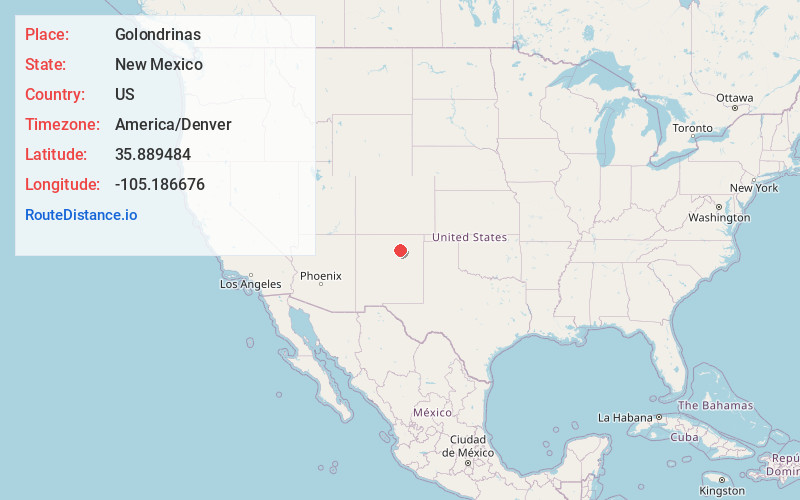
Full AddressGolondrinas, NM 87712
-
Coordinates35.889484, -105.1866756
-
LocationGolondrinas , New Mexico , US
-
TimezoneAmerica/Denver
-
Current Local Time2:01:30 AM America/DenverThursday, June 19, 2025
-
Page Views0
About Golondrinas
Golondrinas is an unincorporated community in Mora County, New Mexico, United States, on State Route 161 next to the Mora River, approximately 18 mi south of the town of Mora.
Nearby Places
Found 10 places within 50 miles

Rainsville
6.3 mi
10.1 km
Rainsville, NM 87736
Get directions
Manuelitas
8.0 mi
12.9 km
Manuelitas, NM 87745
Get directions
South Carmen
8.4 mi
13.5 km
South Carmen, NM 87745
Get directions
Las Tusas
10.1 mi
16.3 km
Las Tusas, NM 87745
Get directions
La Tierra Amarilla
11.5 mi
18.5 km
La Tierra Amarilla, New Mexico 87732
Get directions
Ojo Feliz
12.2 mi
19.6 km
Ojo Feliz, NM 87735
Get directions
San Ignacio
12.5 mi
20.1 km
San Ignacio, NM 87745
Get directions

Watrous
13.4 mi
21.6 km
Watrous, NM 87753
Get directions
Kroenigs
13.5 mi
21.7 km
Kroenigs, NM 87701
Get directions
El Turquillo
13.6 mi
21.9 km
El Turquillo, NM 87736
Get directions
Location Links
Local Weather
Weather Information
Coming soon!
Location Map
Static map view of Golondrinas, New Mexico
Browse Places by Distance
Places within specific distances from Golondrinas
Short Distances
Long Distances
Click any distance to see all places within that range from Golondrinas. Distances shown in miles (1 mile ≈ 1.61 kilometers).