Distance to Golts, Maryland

Calculating Your Route
Just a moment while we process your request...
Location Information
-
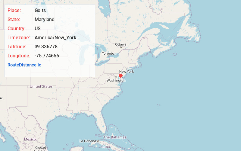
Full AddressGolts, MD 21635
-
Coordinates39.3367779, -75.7746562
-
LocationGolts , Maryland , US
-
TimezoneAmerica/New_York
-
Current Local Time11:20:57 PM America/New_YorkThursday, June 19, 2025
-
Page Views0
About Golts
Golts is an unincorporated community in Kent County, Maryland, United States. Golts is located at the intersection of Delaware Line Road and Black Bottom Road, east of Galena and west of the Delaware border.
Nearby Places
Found 10 places within 50 miles

Vandyke
2.1 mi
3.4 km
Vandyke, DE 19734
Get directions
Sassafras
2.8 mi
4.5 km
Sassafras, MD 21635
Get directions
Massey
3.3 mi
5.3 km
Massey, MD 21650
Get directions
Shorewood Estates
4.3 mi
6.9 km
Shorewood Estates, MD 21635
Get directions
Twin Eagle Farms
5.1 mi
8.2 km
Twin Eagle Farms, DE 19938
Get directions
Gregg Neck
5.2 mi
8.4 km
Gregg Neck, MD 21635
Get directions
Warwick
5.5 mi
8.9 km
Warwick, MD 21912
Get directions
Galena
5.6 mi
9.0 km
Galena, MD 21635
Get directions
Forest
5.6 mi
9.0 km
Forest, DE 19734
Get directions
Wiggins Mill Pond
5.7 mi
9.2 km
Wiggins Mill Pond, Delaware 19734
Get directions
Location Links
Local Weather
Weather Information
Coming soon!
Location Map
Static map view of Golts, Maryland
Browse Places by Distance
Places within specific distances from Golts
Short Distances
Long Distances
Click any distance to see all places within that range from Golts. Distances shown in miles (1 mile ≈ 1.61 kilometers).