Distance to Goodland, Missouri

Calculating Your Route
Just a moment while we process your request...
Location Information
-
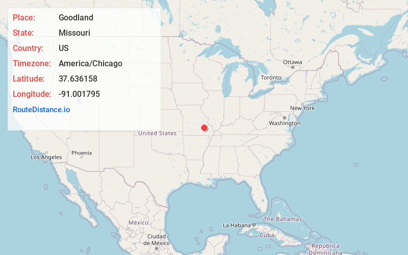
Full AddressGoodland, MO 63623
-
Coordinates37.6361578, -91.0017954
-
LocationGoodland , Missouri , US
-
TimezoneAmerica/Chicago
-
Current Local Time12:30:35 PM America/ChicagoSunday, June 1, 2025
-
Page Views0
About Goodland
Goodland is an unincorporated community in western Iron County, Missouri, United States. It is located on a county road, approximately two miles from Route 49 in the Mark Twain National Forest.
Nearby Places
Found 10 places within 50 miles

Redmondville
1.9 mi
3.1 km
Redmondville, Kaolin Township, MO 63623
Get directions
Edgehill
5.0 mi
8.0 km
Edgehill, MO 63625
Get directions
Good Water
5.9 mi
9.5 km
Good Water, Dent Township, MO 65565
Get directions

Bixby
6.4 mi
10.3 km
Bixby, MO 65439
Get directions
Buick
7.1 mi
11.4 km
Buick, Dent Township, MO 65439
Get directions
Black
8.2 mi
13.2 km
Black, MO 63625
Get directions

Viburnum
9.1 mi
14.6 km
Viburnum, MO 65566
Get directions
Monterey
9.3 mi
15.0 km
Monterey, Middle Brook, MO 63656
Get directions
Courtois
9.7 mi
15.6 km
Courtois, MO 65565
Get directions

Boss
10.3 mi
16.6 km
Boss, MO 65440
Get directions
Location Links
Local Weather
Weather Information
Coming soon!
Location Map
Static map view of Goodland, Missouri
Browse Places by Distance
Places within specific distances from Goodland
Short Distances
Long Distances
Click any distance to see all places within that range from Goodland. Distances shown in miles (1 mile ≈ 1.61 kilometers).