Distance to Gorum, Louisiana

Calculating Your Route
Just a moment while we process your request...
Location Information
-
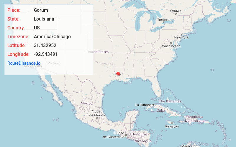
Full AddressGorum, LA 71447
-
Coordinates31.4329516, -92.9434914
-
LocationGorum , Louisiana , US
-
TimezoneAmerica/Chicago
-
Current Local Time6:53:22 AM America/ChicagoMonday, June 2, 2025
-
Page Views0
About Gorum
Gorum is an unincorporated community in Natchitoches Parish, Louisiana, United States. The community is located on Louisiana Highway 119, 24 miles south-southeast of Natchitoches. Gorum has a post office with ZIP code 71434, which opened on November 21, 1890.
Nearby Places
Found 10 places within 50 miles

Janie
3.9 mi
6.3 km
Janie, LA 71447
Get directions
Galbraith Oil Field
9.9 mi
15.9 km
Galbraith Oil Field, Louisiana 71447
Get directions
Melrose
11.5 mi
18.5 km
Melrose, LA 71456
Get directions
Marco
11.8 mi
19.0 km
Marco, LA 71447
Get directions
Jericho
12.3 mi
19.8 km
Jericho, LA 71447
Get directions
Odra
13.0 mi
20.9 km
Odra, LA 71416
Get directions

Simpson
13.6 mi
21.9 km
Simpson, LA
Get directions

Colfax
15.2 mi
24.5 km
Colfax, LA 71417
Get directions
Wilda
15.2 mi
24.5 km
Wilda, LA 71409
Get directions
Hemphill
16.1 mi
25.9 km
Hemphill, LA 71409
Get directions
Location Links
Local Weather
Weather Information
Coming soon!
Location Map
Static map view of Gorum, Louisiana
Browse Places by Distance
Places within specific distances from Gorum
Short Distances
Long Distances
Click any distance to see all places within that range from Gorum. Distances shown in miles (1 mile ≈ 1.61 kilometers).