Distance to Gould, Arkansas

Calculating Your Route
Just a moment while we process your request...
Location Information
-
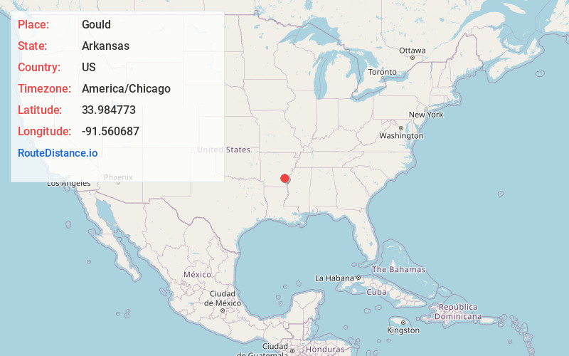
Full AddressGould, AR 71643
-
Coordinates33.9847733, -91.560687
-
LocationGould , Arkansas , US
-
TimezoneAmerica/Chicago
-
Current Local Time4:17:00 PM America/ChicagoSaturday, June 14, 2025
-
Page Views0
About Gould
Gould is a city in Lincoln County, Arkansas, United States. Its population was 663 at the 2020 census, down from 837 at the 2010 census. It is included in the Pine Bluff, Arkansas Metropolitan Statistical Area. Gould is a farming community. It was named after the American railroad magnate Jay Gould.

Nearby Places
Found 10 places within 50 miles

Dumas
8.3 mi
13.4 km
Dumas, AR
Get directions

Gillett
14.0 mi
22.5 km
Gillett, AR
Get directions

Star City
16.5 mi
26.6 km
Star City, AR 71667
Get directions

DeWitt
24.9 mi
40.1 km
DeWitt, AR 72042
Get directions

McGehee
27.8 mi
44.7 km
McGehee, AR 71654
Get directions

Monticello
28.2 mi
45.4 km
Monticello, AR 71655
Get directions
Altheimer
28.3 mi
45.5 km
Altheimer, AR 72004
Get directions

Pine Bluff
30.3 mi
48.8 km
Pine Bluff, AR
Get directions

Rosedale
31.9 mi
51.3 km
Rosedale, MS 38769
Get directions

Dermott
32.6 mi
52.5 km
Dermott, AR 71638
Get directions
Location Links
Local Weather
Weather Information
Coming soon!
Location Map
Static map view of Gould, Arkansas
Browse Places by Distance
Places within specific distances from Gould
Short Distances
Long Distances
Click any distance to see all places within that range from Gould. Distances shown in miles (1 mile ≈ 1.61 kilometers).