Distance to Government Camp, Oregon

Calculating Your Route
Just a moment while we process your request...
Location Information
-
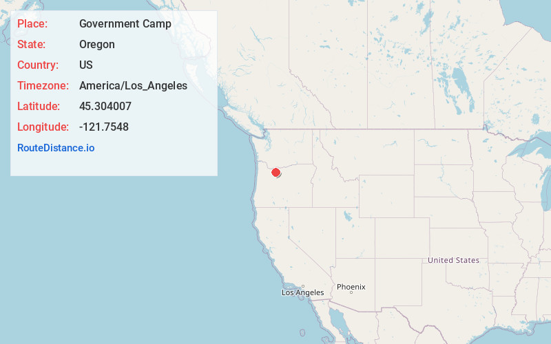
Full AddressGovernment Camp, OR 97028
-
Coordinates45.3040072, -121.7547998
-
LocationGovernment Camp , Oregon , US
-
TimezoneAmerica/Los_Angeles
-
Current Local Time4:42:45 AM America/Los_AngelesThursday, June 5, 2025
-
Page Views0
About Government Camp
Government Camp is an unincorporated community and census-designated place located in Clackamas County, Oregon, United States, on the base of Mount Hood and north of Tom Dick and Harry Mountain. It is the only town within 5 miles of Mount Hood and therefore is the de facto "mountain town" or "ski town".


Nearby Places
Found 10 places within 50 miles

Barlow Pass
3.7 mi
6.0 km
Barlow Pass, Oregon 97028
Get directions

Mt Hood
5.6 mi
9.0 km
Mt Hood, Oregon 97041
Get directions

Rhododendron
7.8 mi
12.6 km
Rhododendron, OR 97049
Get directions

Mt Hood Village
11.1 mi
17.9 km
Mt Hood Village, OR
Get directions

Lost Lake Resort
13.7 mi
22.0 km
Lost Lake Resort, OR 97014
Get directions

Parkdale
16.8 mi
27.0 km
Parkdale, OR 97041
Get directions

Alder Creek
17.6 mi
28.3 km
Alder Creek, OR 97055
Get directions

Clackamas County
19.1 mi
30.7 km
Clackamas County, OR
Get directions

Three Lynx
19.7 mi
31.7 km
Three Lynx, OR 97023
Get directions
Cherryville
19.9 mi
32.0 km
Cherryville, OR 97055
Get directions
Location Links
Local Weather
Weather Information
Coming soon!
Location Map
Static map view of Government Camp, Oregon
Browse Places by Distance
Places within specific distances from Government Camp
Short Distances
Long Distances
Click any distance to see all places within that range from Government Camp. Distances shown in miles (1 mile ≈ 1.61 kilometers).