Distance to Grand Falls, Minnesota

Calculating Your Route
Just a moment while we process your request...
Location Information
-
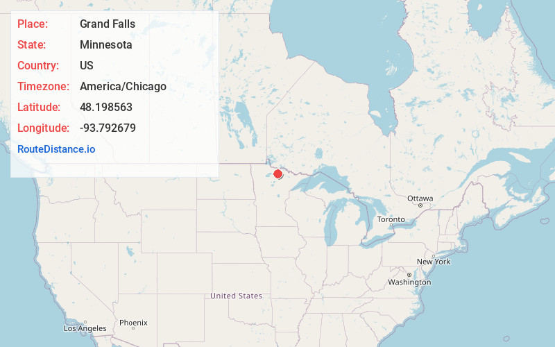
Full AddressGrand Falls, MN 56627
-
Coordinates48.1985625, -93.7926791
-
LocationGrand Falls , Minnesota , US
-
TimezoneAmerica/Chicago
-
Current Local Time7:00:43 AM America/ChicagoSunday, June 22, 2025
-
Page Views1
About Grand Falls
Grand Falls is an unincorporated community in Koochiching County, Minnesota, United States.
The community is located immediately north of Big Falls at the junction of County Roads 13 and 31; and U.S. Highway 71.
Grand Falls is located within ZIP code 56627, based in Big Falls.
Nearby Places
Found 10 places within 50 miles

Big Falls
0.8 mi
1.3 km
Big Falls, MN 56627
Get directions

Wisner
9.2 mi
14.8 km
Wisner, MN 56653
Get directions
Margie
9.9 mi
15.9 km
Margie, MN 56658
Get directions
Lindford
14.7 mi
23.7 km
Lindford, MN 56653
Get directions
Littlefork
17.6 mi
28.3 km
Littlefork, MN 56653
Get directions
Loman
21.7 mi
34.9 km
Loman, MN 56654
Get directions
Craigville
22.0 mi
35.4 km
Craigville, MN 56639
Get directions
Laurel
22.5 mi
36.2 km
Laurel, MN 56649
Get directions
Wildwood
22.8 mi
36.7 km
Wildwood, MN 56661
Get directions
Fairland
24.9 mi
40.1 km
Fairland, MN 56629
Get directions
Location Links
Local Weather
Weather Information
Coming soon!
Location Map
Static map view of Grand Falls, Minnesota
Browse Places by Distance
Places within specific distances from Grand Falls
Short Distances
Long Distances
Click any distance to see all places within that range from Grand Falls. Distances shown in miles (1 mile ≈ 1.61 kilometers).