Distance to Granger, Wyoming

Calculating Your Route
Just a moment while we process your request...
Location Information
-
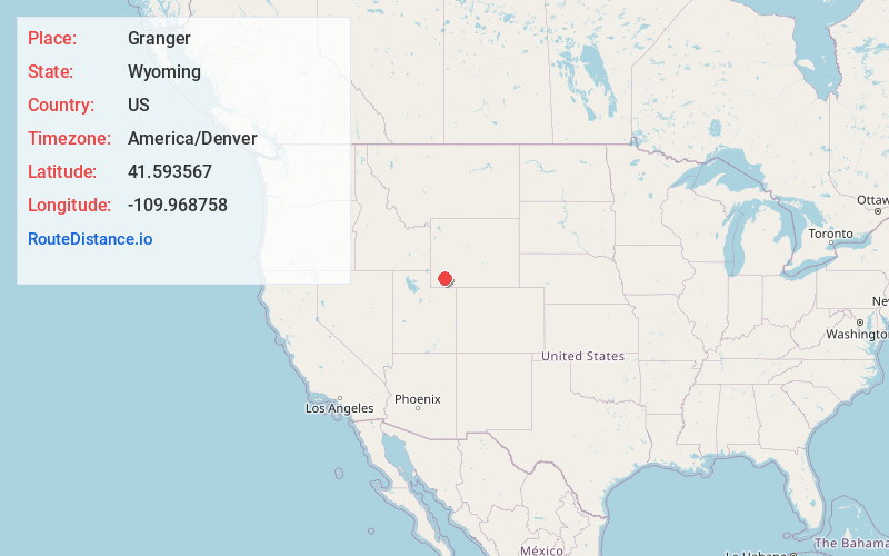
Full AddressGranger, WY 82934
-
Coordinates41.5935669, -109.9687582
-
LocationGranger , Wyoming , US
-
TimezoneAmerica/Denver
-
Current Local Time3:15:08 PM America/DenverTuesday, June 3, 2025
-
Page Views0
About Granger
Granger is a town along Blacks Fork near the western edge of Sweetwater County, Wyoming, United States. The population was 139 at the 2010 census. It is located near the confluence of the Blacks Fork and the Hams Fork rivers. The geography of the area is flat with semi-arid scrub.


Nearby Places
Found 10 places within 50 miles

James Town
23.5 mi
37.8 km
James Town, WY 82935
Get directions

Lyman
24.9 mi
40.1 km
Lyman, WY 82937
Get directions

Green River
26.4 mi
42.5 km
Green River, WY 82935
Get directions

Mountain View
29.5 mi
47.5 km
Mountain View, WY 82933
Get directions

Diamondville
32.1 mi
51.7 km
Diamondville, WY
Get directions

Kemmerer
32.4 mi
52.1 km
Kemmerer, WY 83101
Get directions

Purple Sage
33.5 mi
53.9 km
Purple Sage, WY 82901
Get directions
Clearview Acres
35.8 mi
57.6 km
Clearview Acres, WY 82901
Get directions

Rock Springs
39.6 mi
63.7 km
Rock Springs, WY 82901
Get directions

Eden
41.8 mi
67.3 km
Eden, WY 82932
Get directions
Location Links
Local Weather
Weather Information
Coming soon!
Location Map
Static map view of Granger, Wyoming
Browse Places by Distance
Places within specific distances from Granger
Short Distances
Long Distances
Click any distance to see all places within that range from Granger. Distances shown in miles (1 mile ≈ 1.61 kilometers).