Distance to Granite Falls, Washington

Calculating Your Route
Just a moment while we process your request...
Location Information
-
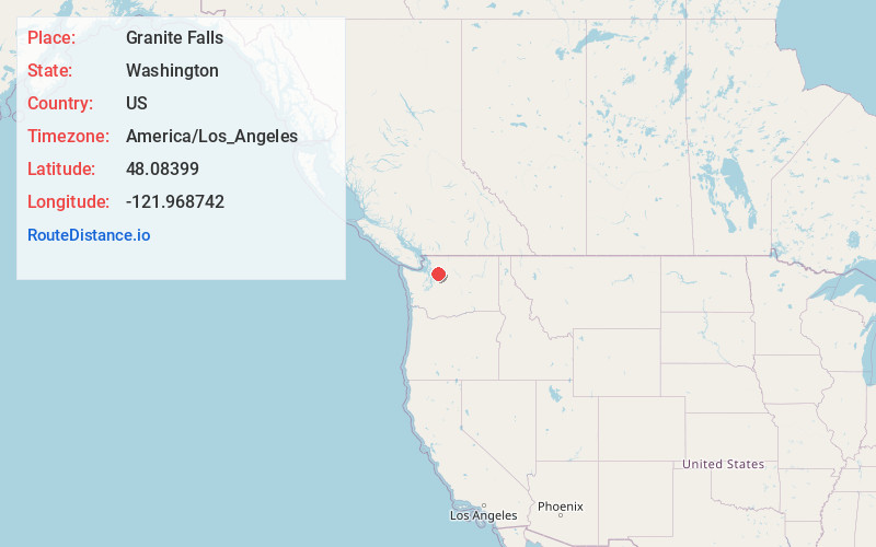
Full AddressGranite Falls, WA 98252
-
Coordinates48.0839895, -121.968742
-
LocationGranite Falls , Washington , US
-
TimezoneAmerica/Los_Angeles
-
Current Local Time5:58:48 AM America/Los_AngelesMonday, June 2, 2025
-
Page Views0
About Granite Falls
Granite Falls is a city in Snohomish County, Washington, United States. It is located between the Pilchuck and Stillaguamish rivers in the western foothills of the Cascade Range, northeast of Lake Stevens and Marysville.


Nearby Places
Found 10 places within 50 miles

Lake Stevens
6.4 mi
10.3 km
Lake Stevens, WA 98258
Get directions

Marysville
9.9 mi
15.9 km
Marysville, WA
Get directions

Arlington
10.7 mi
17.2 km
Arlington, WA
Get directions

Chain Lake
12.4 mi
20.0 km
Chain Lake, WA
Get directions

Everett
13.2 mi
21.2 km
Everett, WA
Get directions

Snohomish
13.3 mi
21.4 km
Snohomish, WA 98290
Get directions

Woods Creek
14.6 mi
23.5 km
Woods Creek, WA
Get directions

Lake Goodwin
14.8 mi
23.8 km
Lake Goodwin, WA
Get directions

Monroe
15.8 mi
25.4 km
Monroe, WA
Get directions
Eastmont
16.3 mi
26.2 km
Eastmont, WA
Get directions
Location Links
Local Weather
Weather Information
Coming soon!
Location Map
Static map view of Granite Falls, Washington
Browse Places by Distance
Places within specific distances from Granite Falls
Short Distances
Long Distances
Click any distance to see all places within that range from Granite Falls. Distances shown in miles (1 mile ≈ 1.61 kilometers).