Distance to Grannis, Arkansas

Calculating Your Route
Just a moment while we process your request...
Location Information
-
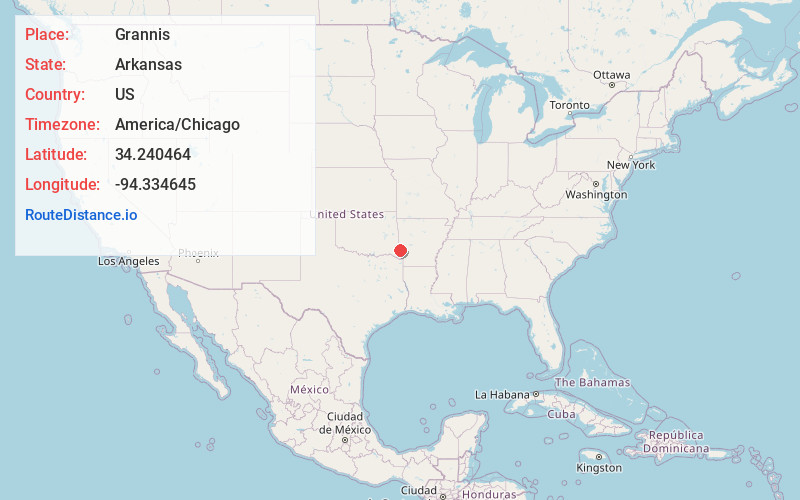
Full AddressGrannis, AR
-
Coordinates34.2404636, -94.3346445
-
LocationGrannis , Arkansas , US
-
TimezoneAmerica/Chicago
-
Current Local Time2:06:49 PM America/ChicagoFriday, June 20, 2025
-
Page Views0
About Grannis
Grannis is a city in Polk County, Arkansas, United States. The population was 554 at the 2010 census.
Near Grannis is the Boggs Springs Youth Encampment of the American Baptist Association, a retreat of Missionary Baptist churches.


Nearby Places
Found 10 places within 50 miles

Wickes
4.4 mi
7.1 km
Wickes, AR
Get directions

Dierks
20.0 mi
32.2 km
Dierks, AR 71833
Get directions
Horatio
20.9 mi
33.6 km
Horatio, AR
Get directions

Lockesburg
21.1 mi
34.0 km
Lockesburg, AR 71846
Get directions

Mena
24.4 mi
39.3 km
Mena, AR 71953
Get directions

Broken Bow
27.4 mi
44.1 km
Broken Bow, OK
Get directions

Nashville
34.4 mi
55.4 km
Nashville, AR 71852
Get directions

Mineral Springs
34.9 mi
56.2 km
Mineral Springs, AR 71851
Get directions

Foreman
36.0 mi
57.9 km
Foreman, AR 71836
Get directions

Idabel
36.9 mi
59.4 km
Idabel, OK 74745
Get directions
Location Links
Local Weather
Weather Information
Coming soon!
Location Map
Static map view of Grannis, Arkansas
Browse Places by Distance
Places within specific distances from Grannis
Short Distances
Long Distances
Click any distance to see all places within that range from Grannis. Distances shown in miles (1 mile ≈ 1.61 kilometers).