Distance to Grant, Oklahoma

Calculating Your Route
Just a moment while we process your request...
Location Information
-
Full AddressGrant, OK 74738
-
Coordinates33.9430894, -95.5138162
-
LocationGrant , Oklahoma , US
-
TimezoneAmerica/Chicago
-
Current Local Time3:26:06 PM America/ChicagoTuesday, July 1, 2025
-
Page Views0
About Grant
Grant is an unincorporated community in Choctaw County, Oklahoma, United States. It is located along U.S. Route 271, south of Hugo. As of the 2010 census it had a population of 289.


Nearby Places
Found 10 places within 50 miles

Hugo
4.7 mi
7.6 km
Hugo, OK 74743
Get directions

Powderly
9.2 mi
14.8 km
Powderly, TX 75473
Get directions

Sawyer
9.5 mi
15.3 km
Sawyer, OK
Get directions

Fort Towson
15.1 mi
24.3 km
Fort Towson, OK 74735
Get directions

Rattan
18.7 mi
30.1 km
Rattan, OK
Get directions

Paris
19.6 mi
31.5 km
Paris, TX
Get directions

Blossom
20.8 mi
33.5 km
Blossom, TX
Get directions

Antlers
20.8 mi
33.5 km
Antlers, OK 74523
Get directions

Boswell
21.2 mi
34.1 km
Boswell, OK 74727
Get directions

Detroit
24.1 mi
38.8 km
Detroit, TX 75436
Get directions
Location Links
Local Weather
Weather Information
Coming soon!
Location Map
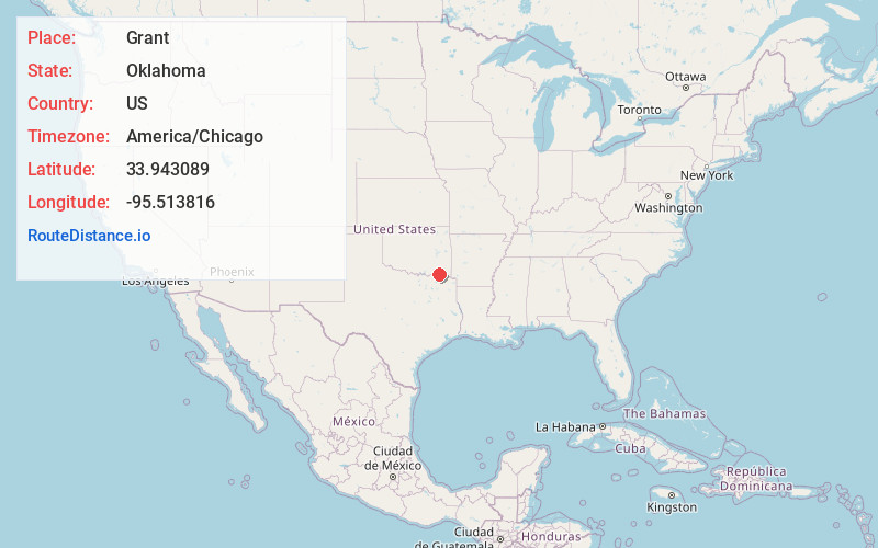
Static map view of Grant, Oklahoma
Browse Places by Distance
Places within specific distances from Grant
Short Distances
Long Distances
Click any distance to see all places within that range from Grant. Distances shown in miles (1 mile ≈ 1.61 kilometers).