Distance to Grapewood, North Carolina

Calculating Your Route
Just a moment while we process your request...
Location Information
-
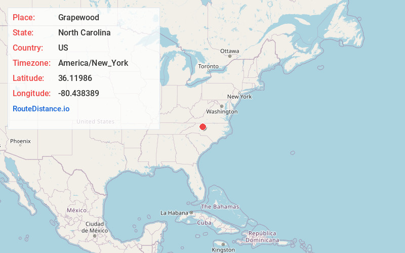
Full AddressGrapewood, NC 27023
-
Coordinates36.11986, -80.4383889
-
LocationNorth Carolina , US
-
TimezoneAmerica/New_York
-
Current Local Time12:18:09 PM America/New_YorkTuesday, June 24, 2025
-
Page Views0
Nearby Places
Found 10 places within 50 miles

Lewisville
1.9 mi
3.1 km
Lewisville, NC
Get directions

West Bend
3.3 mi
5.3 km
West Bend, NC 27023
Get directions
Bethania
7.1 mi
11.4 km
Bethania, NC
Get directions

Clemmons
7.5 mi
12.1 km
Clemmons, NC
Get directions

East Bend
7.9 mi
12.7 km
East Bend, NC 27018
Get directions

Bermuda Run
8.3 mi
13.4 km
Bermuda Run, NC 27006
Get directions
Muddy Creek
8.3 mi
13.4 km
Muddy Creek, NC 27127
Get directions
Farmington
8.9 mi
14.3 km
Farmington, NC
Get directions
Clemmons Station
8.9 mi
14.3 km
Clemmons Station, Clemmons, NC 27012
Get directions

Tobaccoville
9.0 mi
14.5 km
Tobaccoville, NC
Get directions
Location Links
Local Weather
Weather Information
Coming soon!
Location Map
Static map view of Grapewood, North Carolina
Browse Places by Distance
Places within specific distances from Grapewood
Short Distances
Long Distances
Click any distance to see all places within that range from Grapewood. Distances shown in miles (1 mile ≈ 1.61 kilometers).