Distance to Greendale, Wisconsin

Calculating Your Route
Just a moment while we process your request...
Location Information
-
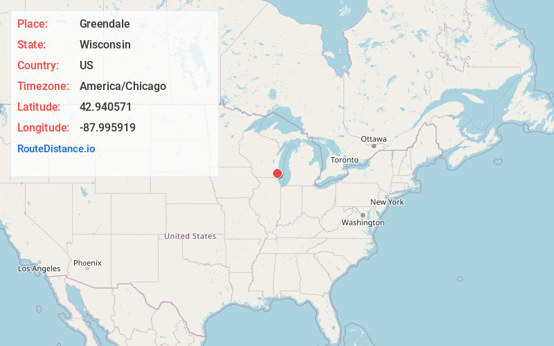
Full AddressGreendale, WI
-
Coordinates42.9405711, -87.9959191
-
LocationGreendale , Wisconsin , US
-
TimezoneAmerica/Chicago
-
Current Local Time12:35:26 PM America/ChicagoWednesday, June 18, 2025
-
Page Views0
About Greendale
Greendale is a village in Milwaukee County, Wisconsin, United States. The population was 14,854 at the 2020 census. Greendale is located southwest of Milwaukee and is a part of the Milwaukee metropolitan area. A planned community, it was established by the US government during the Great Depression.


Nearby Places
Found 10 places within 50 miles

Greenfield
1.7 mi
2.7 km
Greenfield, WI
Get directions

Franklin
4.2 mi
6.8 km
Franklin, WI 53132
Get directions

West Allis
5.3 mi
8.5 km
West Allis, WI
Get directions

New Berlin
6.2 mi
10.0 km
New Berlin, WI
Get directions

Cudahy
6.9 mi
11.1 km
Cudahy, WI 53110
Get directions

South Milwaukee
7.2 mi
11.6 km
South Milwaukee, WI 53172
Get directions

Wauwatosa
7.5 mi
12.1 km
Wauwatosa, WI
Get directions

Oak Creek
7.7 mi
12.4 km
Oak Creek, WI 53154
Get directions

Milwaukee
8.2 mi
13.2 km
Milwaukee, WI
Get directions

Muskego
8.2 mi
13.2 km
Muskego, WI
Get directions
Location Links
Local Weather
Weather Information
Coming soon!
Location Map
Static map view of Greendale, Wisconsin
Browse Places by Distance
Places within specific distances from Greendale
Short Distances
Long Distances
Click any distance to see all places within that range from Greendale. Distances shown in miles (1 mile ≈ 1.61 kilometers).