Distance to Greenwood, Indiana

Calculating Your Route
Just a moment while we process your request...
Location Information
-
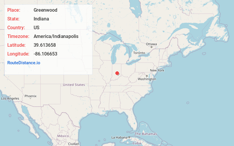
Full AddressGreenwood, IN
-
Coordinates39.6136578, -86.1066526
-
LocationGreenwood , Indiana , US
-
TimezoneAmerica/Indianapolis
-
Website
-
Page Views0
About Greenwood
Greenwood is a city in Johnson County, Indiana, United States. The population was 63,830 at the 2020 Census. Greenwood is located southeast of central Indianapolis between Interstate 65 and Interstate 69. It is the most populous suburban municipality in the southern portion of the Indianapolis Metropolitan Area.


Nearby Places
Found 6 places within 50 miles

Indianapolis
11.1 mi
17.9 km
Indianapolis, IN
Get directions

Fishers
24.2 mi
38.9 km
Fishers, IN
Get directions

Carmel
25.2 mi
40.6 km
Carmel, IN
Get directions

Noblesville
30.3 mi
48.8 km
Noblesville, IN
Get directions

Bloomington
38.4 mi
61.8 km
Bloomington, IN
Get directions

Anderson
40.9 mi
65.8 km
Anderson, IN
Get directions
Location Links
Local Weather
Weather Information
Coming soon!
Location Map
Static map view of Greenwood, Indiana
Browse Places by Distance
Places within specific distances from Greenwood
Short Distances
Long Distances
Click any distance to see all places within that range from Greenwood. Distances shown in miles (1 mile ≈ 1.61 kilometers).