Distance to Greyeagle, West Virginia

Calculating Your Route
Just a moment while we process your request...
Location Information
-
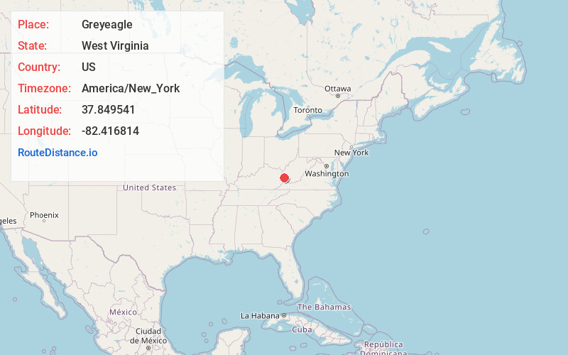
Full AddressGreyeagle, WV 25674
-
Coordinates37.8495405, -82.4168138
-
LocationWest Virginia , US
-
TimezoneAmerica/New_York
-
Current Local Time10:55:30 AM America/New_YorkTuesday, July 1, 2025
-
Page Views0
About Greyeagle
Greyeagle is an unincorporated community in Mingo County, West Virginia, United States. Their post office no longer exists.
The community took its name from the local Grey Eagle Coal Company.
Nearby Places
Found 10 places within 50 miles

Warfield
0.4 mi
0.6 km
Warfield, KY
Get directions

Kermit
0.6 mi
1.0 km
Kermit, WV 25674
Get directions
Stepptown
0.9 mi
1.4 km
Stepptown, WV 25674
Get directions
Pilgrim
3.5 mi
5.6 km
Pilgrim, KY 41231
Get directions
Crum
4.2 mi
6.8 km
Crum, WV 25669
Get directions
Tripp
6.2 mi
10.0 km
Tripp, WV 25669
Get directions

Inez
6.8 mi
10.9 km
Inez, KY 41224
Get directions
McClure
7.0 mi
11.3 km
McClure, KY 41250
Get directions
Maher
7.4 mi
11.9 km
Maher, WV 25661
Get directions
Job
8.4 mi
13.5 km
Job, KY 41224
Get directions
Location Links
Local Weather
Weather Information
Coming soon!
Location Map
Static map view of Greyeagle, West Virginia
Browse Places by Distance
Places within specific distances from Greyeagle
Short Distances
Long Distances
Click any distance to see all places within that range from Greyeagle. Distances shown in miles (1 mile ≈ 1.61 kilometers).