Distance to Griffith Creek, Tennessee

Calculating Your Route
Just a moment while we process your request...
Location Information
-
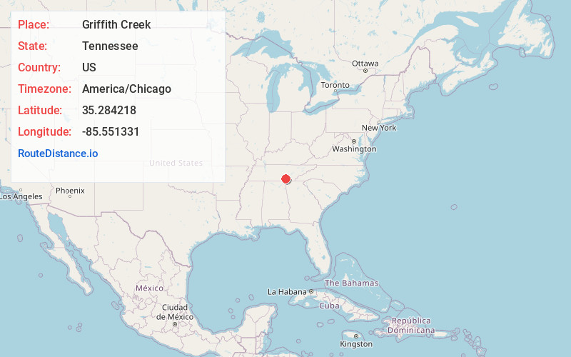
Full AddressGriffith Creek, TN 37397
-
Coordinates35.284218, -85.551331
-
LocationGriffith Creek , Tennessee , US
-
TimezoneAmerica/Chicago
-
Current Local Time5:19:12 PM America/ChicagoSaturday, June 7, 2025
-
Page Views0
About Griffith Creek
Griffith Creek is an unincorporated community in Marion County, Tennessee, United States. It lies along the edge of the Cumberland Plateau, about midway between Palmer and Whitwell. The elevation is 2,234 feet above sea level. Tennessee State Route 108 traverses the community. The ZIP Code for Griffith Creek is 37397.

Nearby Places
Found 10 places within 50 miles

Palmer
4.7 mi
7.6 km
Palmer, TN 37365
Get directions

Whitwell
6.0 mi
9.7 km
Whitwell, TN 37397
Get directions

Gruetli-Laager
7.1 mi
11.4 km
Gruetli-Laager, TN
Get directions

Powells Crossroads
7.5 mi
12.1 km
Powells Crossroads, TN 37397
Get directions

Coalmont
9.4 mi
15.1 km
Coalmont, TN
Get directions

Tracy City
10.6 mi
17.1 km
Tracy City, TN 37387
Get directions

Dunlap
10.9 mi
17.5 km
Dunlap, TN 37327
Get directions

Lone Oak
11.9 mi
19.2 km
Lone Oak, TN 37377
Get directions

Sequatchie
11.9 mi
19.2 km
Sequatchie, TN 37374
Get directions

Beersheba Springs
13.9 mi
22.4 km
Beersheba Springs, TN
Get directions
Location Links
Local Weather
Weather Information
Coming soon!
Location Map
Static map view of Griffith Creek, Tennessee
Browse Places by Distance
Places within specific distances from Griffith Creek
Short Distances
Long Distances
Click any distance to see all places within that range from Griffith Creek. Distances shown in miles (1 mile ≈ 1.61 kilometers).