Distance to Groom, Texas

Calculating Your Route
Just a moment while we process your request...
Location Information
-
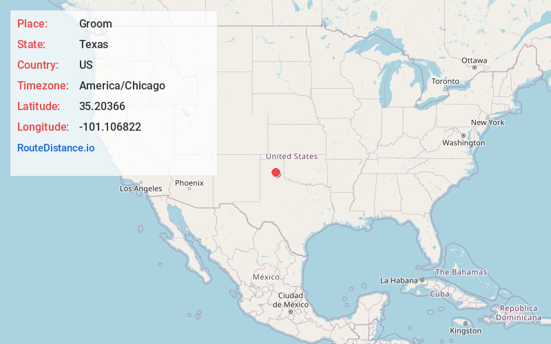
Full AddressGroom, TX 79039
-
Coordinates35.2036602, -101.1068215
-
LocationGroom , Texas , US
-
TimezoneAmerica/Chicago
-
Current Local Time4:12:03 AM America/ChicagoWednesday, June 4, 2025
-
Website
-
Page Views0
About Groom
Groom is a town in Carson County, Texas, United States. The population was 552 at the 2020 census. It is part of the Amarillo, Texas Metropolitan Statistical Area. It is on Interstate 40 42 miles east of Amarillo and 215 miles west of Oklahoma City.


Nearby Places
Found 10 places within 50 miles

Claude
15.8 mi
25.4 km
Claude, TX 79019
Get directions

White Deer
16.4 mi
26.4 km
White Deer, TX 79097
Get directions

Panhandle
18.3 mi
29.5 km
Panhandle, TX 79068
Get directions

Clarendon
22.1 mi
35.6 km
Clarendon, TX 79226
Get directions

Lefors
23.4 mi
37.7 km
Lefors, TX 79054
Get directions

Pampa
24.0 mi
38.6 km
Pampa, TX 79065
Get directions

McLean
28.7 mi
46.2 km
McLean, TX 79057
Get directions

Borger
36.0 mi
57.9 km
Borger, TX 79007
Get directions

Lake Tanglewood
39.6 mi
63.7 km
Lake Tanglewood, TX
Get directions

Amarillo
40.9 mi
65.8 km
Amarillo, TX
Get directions
Location Links
Local Weather
Weather Information
Coming soon!
Location Map
Static map view of Groom, Texas
Browse Places by Distance
Places within specific distances from Groom
Short Distances
Long Distances
Click any distance to see all places within that range from Groom. Distances shown in miles (1 mile ≈ 1.61 kilometers).