Distance to Grover Hill, Ohio

Calculating Your Route
Just a moment while we process your request...
Location Information
-
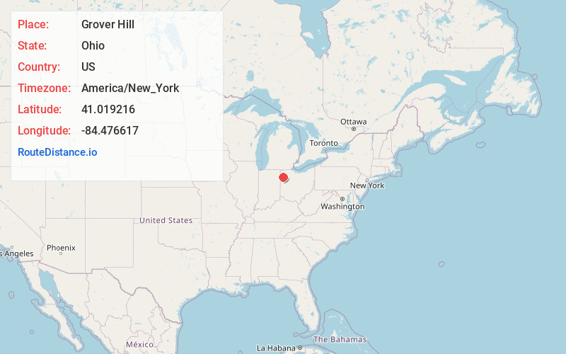
Full AddressGrover Hill, OH
-
Coordinates41.0192156, -84.4766169
-
LocationGrover Hill , Ohio , US
-
TimezoneAmerica/New_York
-
Current Local Time7:38:28 PM America/New_YorkTuesday, June 3, 2025
-
Page Views0
About Grover Hill
Grover Hill is a village in Paulding County, Ohio, United States. The population was 382 at the 2020 census. The village is named after President Grover Cleveland.
Nearby Places
Found 10 places within 50 miles

Ottoville
9.4 mi
15.1 km
Ottoville, OH 45844
Get directions

Paulding
9.8 mi
15.8 km
Paulding, OH 45879
Get directions

Middle Point
11.4 mi
18.3 km
Middle Point, OH
Get directions

Van Wert
11.8 mi
19.0 km
Van Wert, OH 45891
Get directions

Continental
12.3 mi
19.8 km
Continental, OH 45831
Get directions

Payne
13.7 mi
22.0 km
Payne, OH 45880
Get directions

Convoy
13.8 mi
22.2 km
Convoy, OH 45832
Get directions

Delphos
14.0 mi
22.5 km
Delphos, OH 45833
Get directions
Kalida
14.7 mi
23.7 km
Kalida, OH
Get directions

Antwerp
17.7 mi
28.5 km
Antwerp, OH 45813
Get directions
Location Links
Local Weather
Weather Information
Coming soon!
Location Map
Static map view of Grover Hill, Ohio
Browse Places by Distance
Places within specific distances from Grover Hill
Short Distances
Long Distances
Click any distance to see all places within that range from Grover Hill. Distances shown in miles (1 mile ≈ 1.61 kilometers).