Distance to Guadalupe, California

Calculating Your Route
Just a moment while we process your request...
Location Information
-
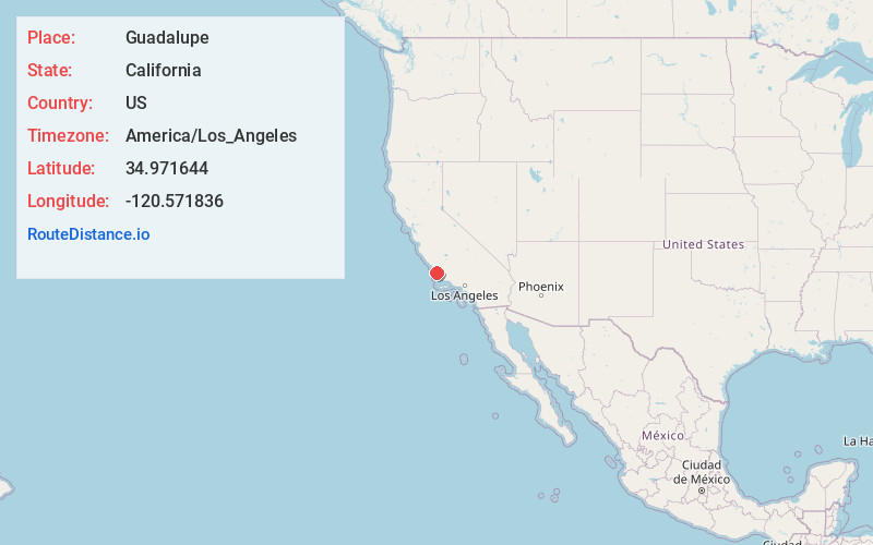
Full AddressGuadalupe, CA 93434
-
Coordinates34.971644, -120.5718363
-
LocationGuadalupe , California , US
-
TimezoneAmerica/Los_Angeles
-
Current Local Time9:06:22 PM America/Los_AngelesFriday, May 30, 2025
-
Website
-
Page Views0
About Guadalupe
Guadalupe is a small city located in Santa Barbara County, California. According to the 2010 census, the city has a population of 7,080. Guadalupe is economically and socially tied to the city of Santa Maria, which is about 8 miles to the east.


Nearby Places
Found 10 places within 50 miles

Nipomo
7.3 mi
11.7 km
Nipomo, CA
Get directions

Santa Maria
7.8 mi
12.6 km
Santa Maria, CA
Get directions

Arroyo Grande
10.2 mi
16.4 km
Arroyo Grande, CA 93420
Get directions

Orcutt
10.6 mi
17.1 km
Orcutt, CA 93455
Get directions

Grover Beach
10.7 mi
17.2 km
Grover Beach, CA
Get directions

Pismo Beach
12.5 mi
20.1 km
Pismo Beach, CA
Get directions

San Luis Obispo
22.1 mi
35.6 km
San Luis Obispo, CA
Get directions

Lompoc
23.9 mi
38.5 km
Lompoc, CA
Get directions

Baywood-Los Osos
27.7 mi
44.6 km
Baywood-Los Osos, CA
Get directions

Morro Bay
31.5 mi
50.7 km
Morro Bay, CA
Get directions
Location Links
Local Weather
Weather Information
Coming soon!
Location Map
Static map view of Guadalupe, California
Browse Places by Distance
Places within specific distances from Guadalupe
Short Distances
Long Distances
Click any distance to see all places within that range from Guadalupe. Distances shown in miles (1 mile ≈ 1.61 kilometers).