Distance to Guam, Missouri

Calculating Your Route
Just a moment while we process your request...
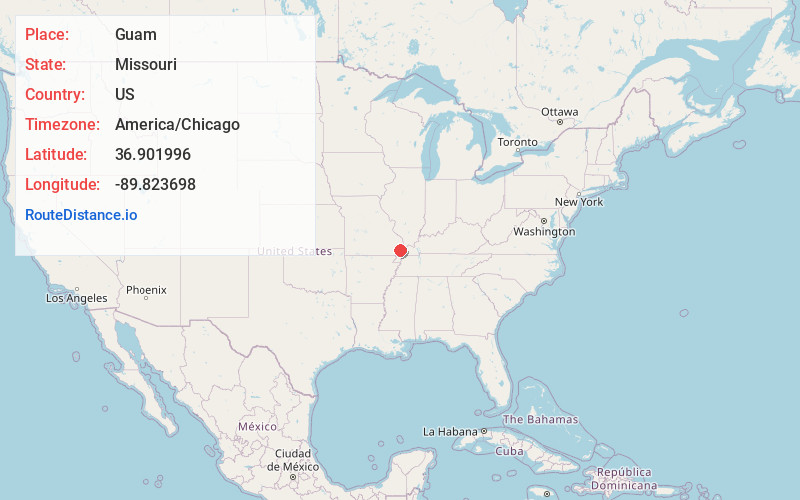
Location Information
-
Full AddressGuam, Castor Township, MO 63846
-
Coordinates36.9019959, -89.8236976
-
LocationCastor Township , Missouri , US
-
TimezoneAmerica/Chicago
-
Current Local Time11:11:15 AM America/ChicagoThursday, June 19, 2025
-
Page Views0
About Guam
Guam is an unincorporated community in Stoddard County, Missouri, United States. It is located ten miles northeast of Dexter.
Guam was originally called "Paront", and under the latter name was founded ca. 1910. The present name is after the territory of Guam.
Nearby Places
Found 10 places within 50 miles

Idalia
3.3 mi
5.3 km
Idalia, Castor Township, MO 63825
Get directions

Shady Dell
4.3 mi
6.9 km
Shady Dell, Pike Township, MO 63735
Get directions
Toppertown
4.3 mi
6.9 km
Toppertown, Pike Township, MO 63735
Get directions
Durnell
4.6 mi
7.4 km
Durnell, Pike Township, MO 63735
Get directions
Shawan
4.9 mi
7.9 km
Shawan, Pike Township, MO 63735
Get directions
Grayridge
5.9 mi
9.5 km
Grayridge, MO 63846
Get directions

Bloomfield
5.9 mi
9.5 km
Bloomfield, MO 63825
Get directions

Essex
6.5 mi
10.5 km
Essex, MO 63846
Get directions
Ardeola
7.0 mi
11.3 km
Ardeola, MO 63730
Get directions
Penermon
7.7 mi
12.4 km
Penermon, MO 63846
Get directions
Location Links
Local Weather
Weather Information
Coming soon!
Location Map
Static map view of Guam, Missouri
Browse Places by Distance
Places within specific distances from Guam
Short Distances
Long Distances
Click any distance to see all places within that range from Guam. Distances shown in miles (1 mile ≈ 1.61 kilometers).