Distance to Guelph, Ontario

Calculating Your Route
Just a moment while we process your request...
Location Information
-
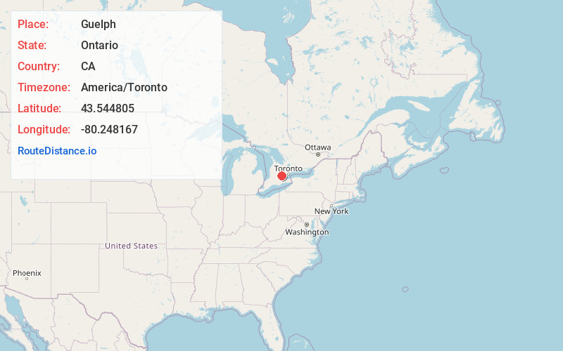
Full AddressGuelph, ON, Canada
-
Coordinates43.544805, -80.248167
-
LocationGuelph , Ontario , CA
-
TimezoneAmerica/Toronto
-
Current Local Time10:19:00 AM America/TorontoMonday, June 16, 2025
-
Website
-
Page Views0
About Guelph
Guelph is a city in Southwestern Ontario, Canada. Known as The Royal City, it is roughly 22 km east of Kitchener and 70 km west of Downtown Toronto, at the intersection of Highway 6, Highway 7 and Wellington County Road 124. It is the seat of Wellington County, but is politically independent of it.


Nearby Places
Found 10 places within 50 miles

Kitchener
13.9 mi
22.4 km
Kitchener, ON, Canada
Get directions

Waterloo
14.7 mi
23.7 km
Waterloo, ON, Canada
Get directions

Milton
18.7 mi
30.1 km
Milton, ON, Canada
Get directions

Orangeville
27.0 mi
43.5 km
Orangeville, ON, Canada
Get directions

Brampton
27.5 mi
44.3 km
Brampton, ON, Canada
Get directions

Hamilton
27.5 mi
44.3 km
Hamilton, ON, Canada
Get directions

Brantford
28.0 mi
45.1 km
Brantford, ON, Canada
Get directions

Oakville
28.6 mi
46.0 km
Oakville, ON, Canada
Get directions

Mississauga
30.3 mi
48.8 km
Mississauga, ON, Canada
Get directions

Bolton
34.4 mi
55.4 km
Bolton, ON, Canada
Get directions
Location Links
Local Weather
Weather Information
Coming soon!
Location Map
Static map view of Guelph, Ontario
Browse Places by Distance
Places within specific distances from Guelph
Short Distances
Long Distances
Click any distance to see all places within that range from Guelph. Distances shown in miles (1 mile ≈ 1.61 kilometers).