Distance to Guilderland Center, New York

Calculating Your Route
Just a moment while we process your request...
Location Information
-
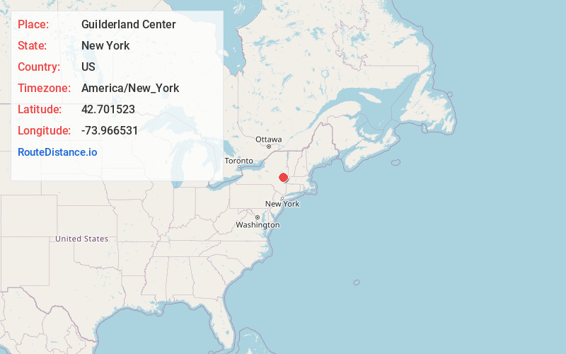
Full AddressGuilderland Center, NY
-
Coordinates42.7015233, -73.9665308
-
LocationGuilderland Center , New York , US
-
TimezoneAmerica/New_York
-
Current Local Time9:10:48 AM America/New_YorkMonday, June 23, 2025
-
Page Views1
About Guilderland Center
Guilderland Center is a hamlet in the town of Guilderland, Albany County, New York, United States. The hamlet lies along New York Route 146 and the Black Creek, a tributary of the Normans Kill.
Nearby Places
Found 10 places within 50 miles

Fullers
1.7 mi
2.7 km
Fullers, NY 12009
Get directions

Guilderland
2.8 mi
4.5 km
Guilderland, NY 12084
Get directions

Altamont
3.4 mi
5.5 km
Altamont, NY 12009
Get directions

Voorheesville
3.8 mi
6.1 km
Voorheesville, NY 12186
Get directions

Westmere
5.0 mi
8.0 km
Westmere, NY
Get directions

Thompsons Lake
5.7 mi
9.2 km
Thompsons Lake, NY 12059
Get directions
New Scotland
5.7 mi
9.2 km
New Scotland, NY 12159
Get directions

Rotterdam
5.9 mi
9.5 km
Rotterdam, NY
Get directions
South Schenectady
5.9 mi
9.5 km
South Schenectady, Rotterdam, NY 12306
Get directions

Colonie
6.9 mi
11.1 km
Colonie, NY 12205
Get directions
Location Links
Local Weather
Weather Information
Coming soon!
Location Map
Static map view of Guilderland Center, New York
Browse Places by Distance
Places within specific distances from Guilderland Center
Short Distances
Long Distances
Click any distance to see all places within that range from Guilderland Center. Distances shown in miles (1 mile ≈ 1.61 kilometers).