Distance to Guilford, Indiana

Calculating Your Route
Just a moment while we process your request...
Location Information
-
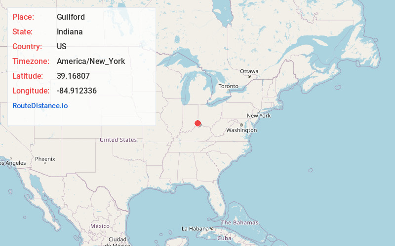
Full AddressGuilford, IN
-
Coordinates39.1680699, -84.9123359
-
LocationGuilford , Indiana , US
-
TimezoneAmerica/New_York
-
Current Local Time8:53:57 PM America/New_YorkTuesday, May 20, 2025
-
Page Views0
About Guilford
Guilford is an unincorporated community in York Township, Dearborn County, Indiana. Located at the forks of Tanners Creek the town was first platted in 1850 to take advantage of the fact that a railroad was soon to be built in the area.
Nearby Places
Found 10 places within 50 miles

Hidden Valley
3.7 mi
6.0 km
Hidden Valley, IN 47025
Get directions
Yorkville
3.8 mi
6.1 km
Yorkville, IN 47022
Get directions
Kyle
4.6 mi
7.4 km
Kyle, Manchester Township, IN 47001
Get directions

Bright
4.6 mi
7.4 km
Bright, IN
Get directions

Greendale
4.6 mi
7.4 km
Greendale, IN 47025
Get directions
Dover
5.4 mi
8.7 km
Dover, IN 47022
Get directions

Manchester
5.5 mi
8.9 km
Manchester, IN
Get directions

Logan
5.6 mi
9.0 km
Logan, IN 47025
Get directions
Elizabethtown
5.8 mi
9.3 km
Elizabethtown, OH 45052
Get directions

Lawrenceburg
6.3 mi
10.1 km
Lawrenceburg, IN 47025
Get directions
Location Links
Local Weather
Weather Information
Coming soon!
Location Map
Static map view of Guilford, Indiana
Browse Places by Distance
Places within specific distances from Guilford
Short Distances
Long Distances
Click any distance to see all places within that range from Guilford. Distances shown in miles (1 mile ≈ 1.61 kilometers).