Distance to Gulde, Mississippi

Calculating Your Route
Just a moment while we process your request...
Location Information
-
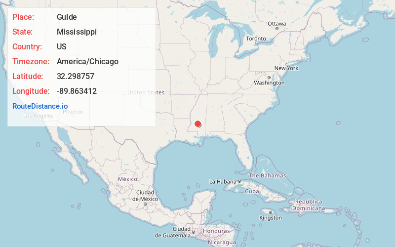
Full AddressGulde, MS 39042
-
Coordinates32.2987572, -89.8634118
-
LocationMississippi , US
-
TimezoneAmerica/Chicago
-
Current Local Time11:48:45 PM America/ChicagoSunday, June 1, 2025
-
Page Views0
About Gulde
Gulde is an unincorporated community in Rankin County, Mississippi, United States.
Gulde was established as a flag station on the Alabama and Vicksburg Railway in 1858, and is said to be named for a railroad official.
The Gulde Church is located south of the settlement, and the Gulde Cemetery is north.
Nearby Places
Found 10 places within 50 miles

Pelahatchie
3.6 mi
5.8 km
Pelahatchie, MS
Get directions

Langford
7.1 mi
11.4 km
Langford, MS 39047
Get directions
Value
7.8 mi
12.6 km
Value, Brandon, MS 39042
Get directions

Brandon
8.2 mi
13.2 km
Brandon, MS
Get directions
Cooperville
9.7 mi
15.6 km
Cooperville, MS 39117
Get directions
Mill Creek
9.8 mi
15.8 km
Mill Creek, MS 39047
Get directions
Fannin
9.8 mi
15.8 km
Fannin, MS 39047
Get directions
Leesburg
11.5 mi
18.5 km
Leesburg, MS 39145
Get directions
Pisgah
11.8 mi
19.0 km
Pisgah, MS 39047
Get directions
Pat
11.9 mi
19.2 km
Pat, MS 39073
Get directions
Location Links
Local Weather
Weather Information
Coming soon!
Location Map
Static map view of Gulde, Mississippi
Browse Places by Distance
Places within specific distances from Gulde
Short Distances
Long Distances
Click any distance to see all places within that range from Gulde. Distances shown in miles (1 mile ≈ 1.61 kilometers).