Distance to Gulf Crossing, Louisiana

Calculating Your Route
Just a moment while we process your request...
Location Information
-
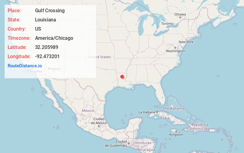
Full AddressGulf Crossing, LA 71226
-
Coordinates32.2059894, -92.4732009
-
LocationLouisiana , US
-
TimezoneAmerica/Chicago
-
Current Local Time11:25:35 AM America/ChicagoFriday, May 30, 2025
-
Page Views0
Nearby Places
Found 10 places within 50 miles

Womack
2.2 mi
3.5 km
Womack, LA 71226
Get directions

Chatham
7.1 mi
11.4 km
Chatham, LA
Get directions

Sikes
8.7 mi
14.0 km
Sikes, LA 71473
Get directions
St Claire
9.1 mi
14.6 km
St Claire, LA 71226
Get directions
Vixen
12.1 mi
19.5 km
Vixen, LA 71418
Get directions

Eros
13.2 mi
21.2 km
Eros, LA 71238
Get directions
Cotton Plant
13.9 mi
22.4 km
Cotton Plant, LA 71435
Get directions
Dodson
14.0 mi
22.5 km
Dodson, LA 71422
Get directions

Jonesboro
14.4 mi
23.2 km
Jonesboro, LA 71251
Get directions
Okaloosa
14.7 mi
23.7 km
Okaloosa, LA 71238
Get directions
Location Links
Local Weather
Weather Information
Coming soon!
Location Map
Static map view of Gulf Crossing, Louisiana
Browse Places by Distance
Places within specific distances from Gulf Crossing
Short Distances
Long Distances
Click any distance to see all places within that range from Gulf Crossing. Distances shown in miles (1 mile ≈ 1.61 kilometers).