Distance to Gum Branch, North Carolina

Calculating Your Route
Just a moment while we process your request...
Location Information
-
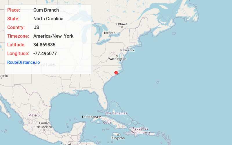
Full AddressGum Branch, NC 28540
-
Coordinates34.8698851, -77.4960767
-
LocationGum Branch , North Carolina , US
-
TimezoneAmerica/New_York
-
Current Local Time9:18:42 AM America/New_YorkSaturday, June 21, 2025
-
Page Views0
Nearby Places
Found 10 places within 50 miles

Richlands
3.5 mi
5.6 km
Richlands, NC 28574
Get directions

Half Moon
3.7 mi
6.0 km
Half Moon, NC
Get directions
Ervintown
4.6 mi
7.4 km
Ervintown, NC 28574
Get directions
Petersburg
4.7 mi
7.6 km
Petersburg, NC 28574
Get directions
Hawkside
8.7 mi
14.0 km
Hawkside, Jacksonville, NC 28546
Get directions

Jacksonville
8.8 mi
14.2 km
Jacksonville, NC
Get directions
Pumpkin Center
9.4 mi
15.1 km
Pumpkin Center, NC 28546
Get directions
Hargetts Crossroads
12.2 mi
19.6 km
Hargetts Crossroads, NC 28585
Get directions
Deppe
12.2 mi
19.6 km
Deppe, NC 28555
Get directions
Combs Fork
13.4 mi
21.6 km
Combs Fork, NC 28501
Get directions
Location Links
Local Weather
Weather Information
Coming soon!
Location Map
Static map view of Gum Branch, North Carolina
Browse Places by Distance
Places within specific distances from Gum Branch
Short Distances
Long Distances
Click any distance to see all places within that range from Gum Branch. Distances shown in miles (1 mile ≈ 1.61 kilometers).