Distance to Gum Ridge, Louisiana

Calculating Your Route
Just a moment while we process your request...
Location Information
-
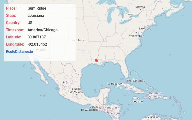
Full AddressGum Ridge, Louisiana 71333
-
Coordinates30.8671368, -92.0184519
-
LocationLouisiana , US
-
TimezoneAmerica/Chicago
-
Current Local Time2:45:05 PM America/ChicagoFriday, June 20, 2025
-
Page Views0
Nearby Places
Found 10 places within 50 miles

Big Cane
3.3 mi
5.3 km
Big Cane, LA 71356
Get directions
Bodoc
3.9 mi
6.3 km
Bodoc, LA 71362
Get directions
Morrow
4.5 mi
7.2 km
Morrow, LA
Get directions
Taterville
5.6 mi
9.0 km
Taterville, LA 71356
Get directions
Le Moyen
5.8 mi
9.3 km
Le Moyen, LA 70589
Get directions
Hickory
5.8 mi
9.3 km
Hickory, LA 71327
Get directions
Dupont
6.0 mi
9.7 km
Dupont, LA 71362
Get directions
Whitehall
6.2 mi
10.0 km
Whitehall, LA 71322
Get directions
Plaucheville
7.1 mi
11.4 km
Plaucheville, LA
Get directions

Evergreen
8.0 mi
12.9 km
Evergreen, LA
Get directions
Location Links
Local Weather
Weather Information
Coming soon!
Location Map
Static map view of Gum Ridge, Louisiana
Browse Places by Distance
Places within specific distances from Gum Ridge
Short Distances
Long Distances
Click any distance to see all places within that range from Gum Ridge. Distances shown in miles (1 mile ≈ 1.61 kilometers).