Distance to Gunnison, Mississippi

Calculating Your Route
Just a moment while we process your request...
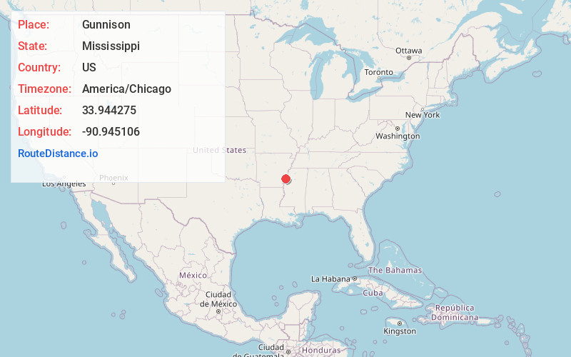
Location Information
-
Full AddressGunnison, MS 38746
-
Coordinates33.9442751, -90.9451064
-
LocationGunnison , Mississippi , US
-
TimezoneAmerica/Chicago
-
Current Local Time12:29:07 AM America/ChicagoFriday, June 20, 2025
-
Page Views0
About Gunnison
Gunnison is a town in Bolivar County, Mississippi, United States. Per the 2020 census, the population was 295.
Nearby Places
Found 10 places within 50 miles

Rosedale
7.8 mi
12.6 km
Rosedale, MS 38769
Get directions

Shelby
10.2 mi
16.4 km
Shelby, MS 38774
Get directions

Mound Bayou
13.3 mi
21.4 km
Mound Bayou, MS 38762
Get directions

Merigold
14.5 mi
23.3 km
Merigold, MS 38759
Get directions
Renova
17.2 mi
27.7 km
Renova, MS 38732
Get directions

Cleveland
18.7 mi
30.1 km
Cleveland, MS 38732
Get directions
Benoit
20.6 mi
33.2 km
Benoit, MS 38725
Get directions
Boyle
20.8 mi
33.5 km
Boyle, MS 38730
Get directions

Shaw
25.6 mi
41.2 km
Shaw, MS 38773
Get directions

Elaine
25.7 mi
41.4 km
Elaine, AR 72333
Get directions
Location Links
Local Weather
Weather Information
Coming soon!
Location Map
Static map view of Gunnison, Mississippi
Browse Places by Distance
Places within specific distances from Gunnison
Short Distances
Long Distances
Click any distance to see all places within that range from Gunnison. Distances shown in miles (1 mile ≈ 1.61 kilometers).