Distance to Gurley, Nebraska

Calculating Your Route
Just a moment while we process your request...
Location Information
-
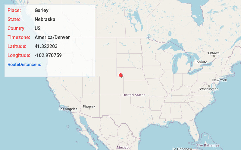
Full AddressGurley, NE
-
Coordinates41.3222034, -102.9707586
-
LocationGurley , Nebraska , US
-
TimezoneAmerica/Denver
-
Current Local Time12:40:35 PM America/DenverTuesday, June 24, 2025
-
Page Views0
About Gurley
Gurley is a village in Cheyenne County, Nebraska, United States. The population was 214 at the 2010 census.
Nearby Places
Found 10 places within 50 miles

Dalton
5.9 mi
9.5 km
Dalton, NE 69131
Get directions

Sidney
12.3 mi
19.8 km
Sidney, NE 69162
Get directions

Potter
19.3 mi
31.1 km
Potter, NE
Get directions

Bridgeport
24.7 mi
39.8 km
Bridgeport, NE 69336
Get directions

Dix
27.5 mi
44.3 km
Dix, NE 69133
Get directions

Chappell
30.6 mi
49.2 km
Chappell, NE 69129
Get directions

Oshkosh
33.0 mi
53.1 km
Oshkosh, NE 69154
Get directions

Bayard
35.0 mi
56.3 km
Bayard, NE 69334
Get directions

Kimball
36.4 mi
58.6 km
Kimball, NE 69145
Get directions
Iliff
39.2 mi
63.1 km
Iliff, CO 80736
Get directions
Location Links
Local Weather
Weather Information
Coming soon!
Location Map
Static map view of Gurley, Nebraska
Browse Places by Distance
Places within specific distances from Gurley
Short Distances
Long Distances
Click any distance to see all places within that range from Gurley. Distances shown in miles (1 mile ≈ 1.61 kilometers).