Distance to Hackamore, California

Calculating Your Route
Just a moment while we process your request...
Location Information
-
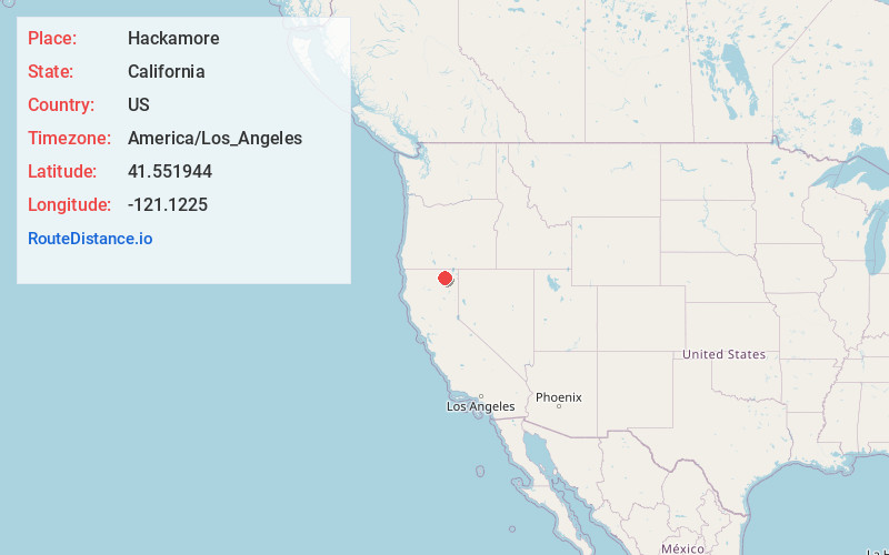
Full AddressHackamore, CA
-
Coordinates41.551944, -121.1225001
-
LocationHackamore , California , US
-
TimezoneAmerica/Los_Angeles
-
Current Local Time11:05:23 PM America/Los_AngelesWednesday, June 18, 2025
-
Page Views0
About Hackamore
Hackamore is an unincorporated community in Modoc County, California. It is located on the Southern Pacific Railroad 30 miles west of Alturas, at an elevation of 4705 feet.
A post office operated at Hackamore from 1903 to 1904.
Hackamore was the site of a Civilian Conservation Corps camp during the 1930s.
Nearby Places
Found 10 places within 50 miles

Boles
3.4 mi
5.5 km
Boles, CA
Get directions
Meares
6.1 mi
9.8 km
Meares, CA
Get directions
Ambrose
8.1 mi
13.0 km
Ambrose, CA
Get directions
Kephart
10.2 mi
16.4 km
Kephart, CA
Get directions
Perez
10.9 mi
17.5 km
Perez, CA
Get directions

Canby
15.0 mi
24.1 km
Canby, CA 96015
Get directions
White Horse
22.1 mi
35.6 km
White Horse, CA 96056
Get directions
Lookout
23.8 mi
38.3 km
Lookout, CA 96054
Get directions
Copic
24.4 mi
39.3 km
Copic, CA 96134
Get directions
Liskey
25.3 mi
40.7 km
Liskey, CA 96134
Get directions
Location Links
Local Weather
Weather Information
Coming soon!
Location Map
Static map view of Hackamore, California
Browse Places by Distance
Places within specific distances from Hackamore
Short Distances
Long Distances
Click any distance to see all places within that range from Hackamore. Distances shown in miles (1 mile ≈ 1.61 kilometers).