Distance to Hagarstown, Illinois

Calculating Your Route
Just a moment while we process your request...
Location Information
-
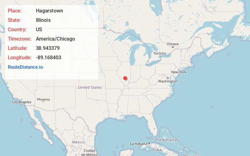
Full AddressHagarstown, IL 62471
-
Coordinates38.943379, -89.1684029
-
LocationHagarstown , Illinois , US
-
TimezoneAmerica/Chicago
-
Current Local Time1:21:31 PM America/ChicagoThursday, June 12, 2025
-
Page Views0
About Hagarstown
Hagarstown is an unincorporated community in Fayette County, Illinois, United States. Hagarstown is 4.5 miles southwest of Vandalia. Hagarstown has a post office with ZIP code 62247.
Nearby Places
Found 10 places within 50 miles

Vandalia
4.2 mi
6.8 km
Vandalia, IL 62471
Get directions

Shafter
4.9 mi
7.9 km
Shafter, IL 62471
Get directions
Mulberry Grove
5.6 mi
9.0 km
Mulberry Grove, IL 62262
Get directions
Shobonier
6.7 mi
10.8 km
Shobonier, IL 62892
Get directions
Bluff City
6.7 mi
10.8 km
Bluff City, IL 62418
Get directions
Vera
6.9 mi
11.1 km
Vera, IL 62471
Get directions
Pleasant Mound
8.6 mi
13.8 km
Pleasant Mound, IL 62284
Get directions
Van Burensburg
8.8 mi
14.2 km
Van Burensburg, IL 62032
Get directions
Woburn
9.6 mi
15.4 km
Woburn, IL 62246
Get directions

Smithboro
9.8 mi
15.8 km
Smithboro, IL 62284
Get directions
Location Links
Local Weather
Weather Information
Coming soon!
Location Map
Static map view of Hagarstown, Illinois
Browse Places by Distance
Places within specific distances from Hagarstown
Short Distances
Long Distances
Click any distance to see all places within that range from Hagarstown. Distances shown in miles (1 mile ≈ 1.61 kilometers).