Distance to Haines Falls, New York

Calculating Your Route
Just a moment while we process your request...
Location Information
-
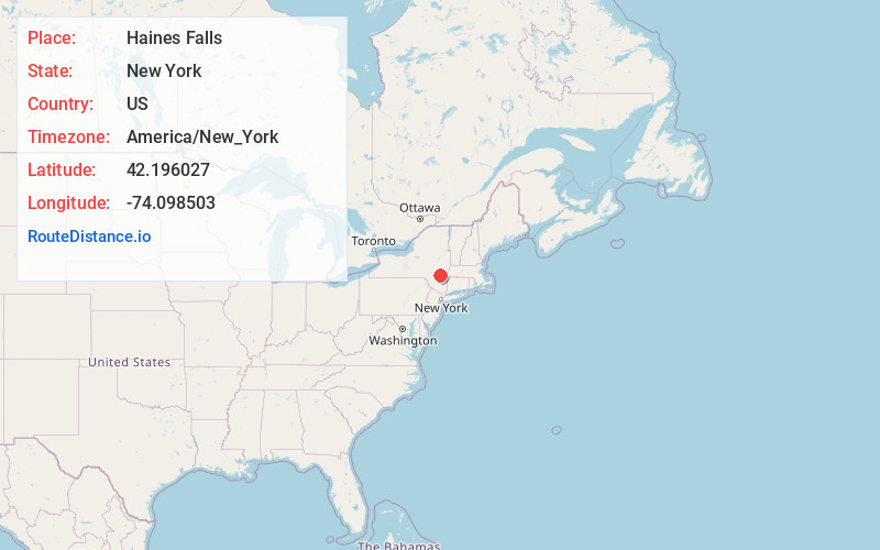
Full AddressHaines Falls, NY
-
Coordinates42.1960274, -74.0985034
-
LocationHaines Falls , New York , US
-
TimezoneAmerica/New_York
-
Current Local Time10:36:35 PM America/New_YorkMonday, June 2, 2025
-
Page Views0
About Haines Falls
Haines Falls is a hamlet located east of Tannersville in the Town of Hunter, in Greene County, New York, United States. Haines Falls is located at 42°11′45″N 74°5′49″W. The hamlet of Haines Falls was always a mountain resort town, unlike Hunter and Palenville which had tanneries.


Nearby Places
Found 10 places within 50 miles

Tannersville
1.8 mi
2.9 km
Tannersville, NY
Get directions

Palenville
4.3 mi
6.9 km
Palenville, NY 12463
Get directions

Manorville
4.9 mi
7.9 km
Manorville, Saugerties, NY 12477
Get directions

Woodstock
10.8 mi
17.4 km
Woodstock, NY
Get directions

Windham
11.0 mi
17.7 km
Windham, NY 12496
Get directions

Saugerties
11.1 mi
17.9 km
Saugerties, NY 12477
Get directions

Germantown
11.4 mi
18.3 km
Germantown, NY 12526
Get directions

Catskill
12.1 mi
19.5 km
Catskill, NY 12414
Get directions

West Hurley
13.7 mi
22.0 km
West Hurley, NY
Get directions
Ashland
14.1 mi
22.7 km
Ashland, NY 12407
Get directions
Location Links
Local Weather
Weather Information
Coming soon!
Location Map
Static map view of Haines Falls, New York
Browse Places by Distance
Places within specific distances from Haines Falls
Short Distances
Long Distances
Click any distance to see all places within that range from Haines Falls. Distances shown in miles (1 mile ≈ 1.61 kilometers).