Distance to Hale, Iowa

Calculating Your Route
Just a moment while we process your request...
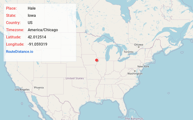
Location Information
-
Full AddressHale, IA 52362
-
Coordinates42.0125136, -91.0593188
-
LocationHale , Iowa , US
-
TimezoneAmerica/Chicago
-
Current Local Time8:27:46 AM America/ChicagoMonday, June 23, 2025
-
Page Views0
About Hale
Hale is an unincorporated community in Jones County, Iowa, United States. Hale is north of the Wapsipinicon River, east of Olin, and west of Oxford Junction.

Nearby Places
Found 10 places within 50 miles

Wyoming
4.2 mi
6.8 km
Wyoming, IA 52362
Get directions

Olin
4.3 mi
6.9 km
Olin, IA 52320
Get directions

Oxford Junction
5.7 mi
9.2 km
Oxford Junction, IA 52323
Get directions

Oxford Mills
5.9 mi
9.5 km
Oxford Mills, IA 52323
Get directions
Onslow
6.9 mi
11.1 km
Onslow, IA 52321
Get directions
Center Junction
7.3 mi
11.7 km
Center Junction, IA 52212
Get directions
Clarence
8.5 mi
13.7 km
Clarence, IA 52216
Get directions
Edinburg
9.2 mi
14.8 km
Edinburg, IA 52310
Get directions

Stanwood
9.5 mi
15.3 km
Stanwood, IA 52337
Get directions
Morley
9.6 mi
15.4 km
Morley, IA
Get directions
Location Links
Local Weather
Weather Information
Coming soon!
Location Map
Static map view of Hale, Iowa
Browse Places by Distance
Places within specific distances from Hale
Short Distances
Long Distances
Click any distance to see all places within that range from Hale. Distances shown in miles (1 mile ≈ 1.61 kilometers).