Distance to Hallstatt, Oberösterreich

Calculating Your Route
Just a moment while we process your request...
Location Information
-
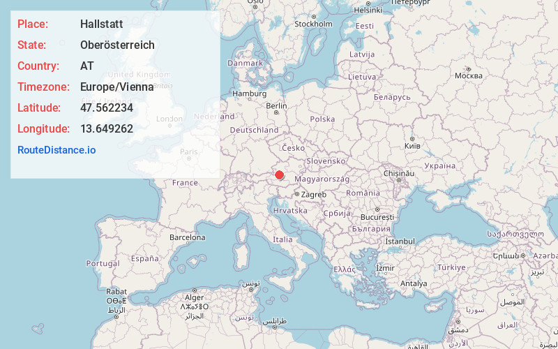
Full AddressHallstatt, Austria
-
Coordinates47.5622342, 13.6492617
-
LocationHallstatt , Oberösterreich , AT
-
TimezoneEurope/Vienna
-
Current Local Time8:18:47 PM Europe/ViennaFriday, June 27, 2025
-
Website
-
Page Views0
About Hallstatt
Hallstatt is a village on Lake Hallstatt's western shore in Austria's mountainous Salzkammergut region. Its 16th-century Alpine houses and alleyways are home to cafes and shops. A funicular railway connects to Salzwelten, an ancient salt mine with a subterranean salt lake, and to Skywalk Hallstatt viewing platform. A trail leads to the Echern Valley glacier garden with glacial potholes and Waldbachstrub Waterfall.


Nearby Places
Found 2 places within 50 miles


Location Links
Local Weather
Weather Information
Coming soon!
Location Map
Static map view of Hallstatt, Oberösterreich
Browse Places by Distance
Places within specific distances from Hallstatt
Short Distances
Long Distances
Click any distance to see all places within that range from Hallstatt. Distances shown in miles (1 mile ≈ 1.61 kilometers).