Distance to Hamer, Idaho

Calculating Your Route
Just a moment while we process your request...
Location Information
-
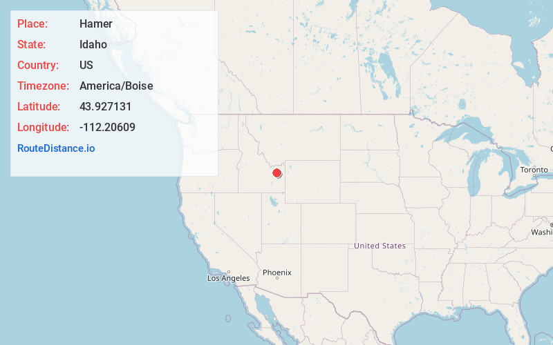
Full AddressHamer, ID 83425
-
Coordinates43.9271309, -112.2060903
-
LocationHamer , Idaho , US
-
TimezoneAmerica/Boise
-
Current Local Time11:32:40 AM America/BoiseThursday, June 19, 2025
-
Page Views0
About Hamer
Hamer is an unincorporated area in Jefferson County, Idaho, United States. It is part of the Idaho Falls Metropolitan Statistical Area. The population was 83 at the 2020 census. Hamer was incorporated by Jefferson County in 1973, the city disincorporated after residents approved through an election in 2022.

Nearby Places
Found 10 places within 50 miles

Mud Lake
14.7 mi
23.7 km
Mud Lake, ID 83450
Get directions

Roberts
14.8 mi
23.8 km
Roberts, ID 83444
Get directions

Dubois
17.3 mi
27.8 km
Dubois, ID 83423
Get directions

Menan
17.9 mi
28.8 km
Menan, ID 83434
Get directions

Lewisville
18.7 mi
30.1 km
Lewisville, ID 83431
Get directions

Rexburg
21.8 mi
35.1 km
Rexburg, ID
Get directions
Parker
22.4 mi
36.0 km
Parker, ID
Get directions

Rigby
22.8 mi
36.7 km
Rigby, ID 83442
Get directions

Sugar City
23.1 mi
37.2 km
Sugar City, ID
Get directions

Ucon
25.9 mi
41.7 km
Ucon, ID 83401
Get directions
Location Links
Local Weather
Weather Information
Coming soon!
Location Map
Static map view of Hamer, Idaho
Browse Places by Distance
Places within specific distances from Hamer
Short Distances
Long Distances
Click any distance to see all places within that range from Hamer. Distances shown in miles (1 mile ≈ 1.61 kilometers).