Distance to Hammond, Montana

Calculating Your Route
Just a moment while we process your request...
Location Information
-
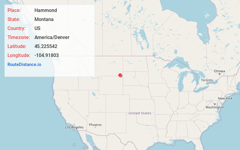
Full AddressHammond, MT 59332
-
Coordinates45.2255418, -104.9180297
-
LocationHammond , Montana , US
-
TimezoneAmerica/Denver
-
Current Local Time2:06:18 AM America/DenverFriday, June 20, 2025
-
Page Views0
About Hammond
Hammond is an unincorporated community in Carter County, Montana, United States. It is located approximately 30 miles southeast of the town of Broadus along U.S. Highway 212. Its elevation is 3,711 feet.


Nearby Places
Found 10 places within 50 miles

Belle Creek
11.1 mi
17.9 km
Belle Creek, MT 59317
Get directions
Ridge
13.3 mi
21.4 km
Ridge, MT 59311
Get directions
Biddle
22.2 mi
35.7 km
Biddle, MT 59314
Get directions

Broadus
28.2 mi
45.4 km
Broadus, MT
Get directions
New Haven
33.5 mi
53.9 km
New Haven, WY 82720
Get directions
Olive
37.2 mi
59.9 km
Olive, MT 59317
Get directions
Belltower
38.7 mi
62.3 km
Belltower, MT 59324
Get directions

Hulett
40.6 mi
65.3 km
Hulett, WY 82720
Get directions

Devils Tower National Monument
45.0 mi
72.4 km
Devils Tower National Monument, Devils Tower, WY 82714
Get directions

Ekalaka
49.1 mi
79.0 km
Ekalaka, MT 59324
Get directions
Location Links
Local Weather
Weather Information
Coming soon!
Location Map
Static map view of Hammond, Montana
Browse Places by Distance
Places within specific distances from Hammond
Short Distances
Long Distances
Click any distance to see all places within that range from Hammond. Distances shown in miles (1 mile ≈ 1.61 kilometers).