Distance to Hammond, Indiana

Calculating Your Route
Just a moment while we process your request...
Location Information
-
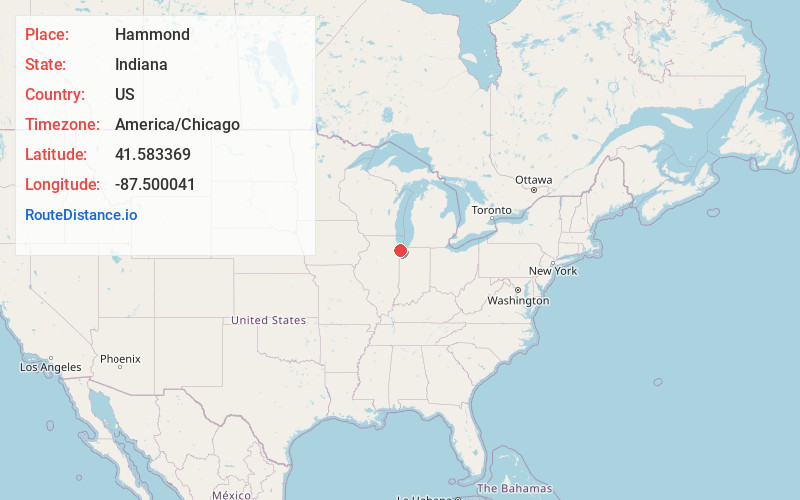
Full AddressHammond, IN
-
Coordinates41.5833688, -87.5000412
-
LocationHammond , Indiana , US
-
TimezoneAmerica/Chicago
-
Current Local Time8:46:58 AM America/ChicagoWednesday, June 18, 2025
-
Website
-
Page Views0
About Hammond
Hammond is a city in Lake County, Indiana, United States. Located along Lake Michigan, it is part of the Chicago metropolitan area and the only city in Indiana to border Chicago. As of the 2020 census, it is the eighth-most populous city in Indiana, with 77,879 residents.


Nearby Places
Found 10 places within 50 miles

Gary
8.5 mi
13.7 km
Gary, IN
Get directions

Chicago
21.4 mi
34.4 km
Chicago, IL
Get directions

Cicero
22.4 mi
36.0 km
Cicero, IL
Get directions

Bolingbrook
30.4 mi
48.9 km
Bolingbrook, IL
Get directions

Joliet
30.4 mi
48.9 km
Joliet, IL
Get directions

Skokie
33.4 mi
53.8 km
Skokie, IL
Get directions

Naperville
35.7 mi
57.5 km
Naperville, IL
Get directions

Kankakee
37.1 mi
59.7 km
Kankakee, IL
Get directions

Schaumburg
42.4 mi
68.2 km
Schaumburg, IL
Get directions

Arlington Heights
42.8 mi
68.9 km
Arlington Heights, IL
Get directions
Location Links
Local Weather
Weather Information
Coming soon!
Location Map
Static map view of Hammond, Indiana
Browse Places by Distance
Places within specific distances from Hammond
Short Distances
Long Distances
Click any distance to see all places within that range from Hammond. Distances shown in miles (1 mile ≈ 1.61 kilometers).