Distance to Hampden, West Virginia

Calculating Your Route
Just a moment while we process your request...
Location Information
-
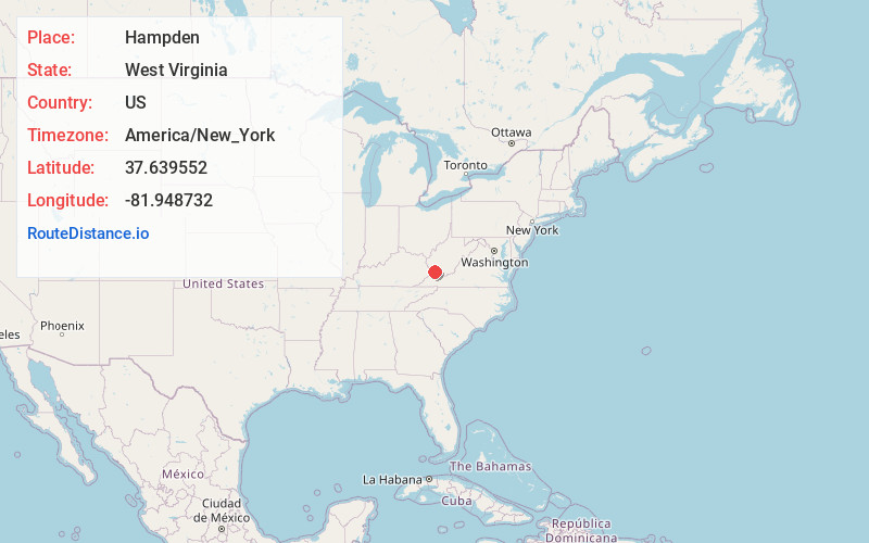
Full AddressHampden, WV 25621
-
Coordinates37.6395524, -81.9487322
-
LocationHampden , West Virginia , US
-
TimezoneAmerica/New_York
-
Current Local Time7:36:11 PM America/New_YorkThursday, June 19, 2025
-
Page Views0
About Hampden
Hampden is an unincorporated community in Mingo County, West Virginia, United States. Hampden is located on U.S. Route 52 and Horsepen Creek, 4.8 miles west-northwest of Gilbert. Hampden had a post office, which closed on November 2, 2002.
Nearby Places
Found 10 places within 50 miles

Sharon Heights
0.6 mi
1.0 km
Sharon Heights, WV 25621
Get directions
Mountain View
2.8 mi
4.5 km
Mountain View, WV 25621
Get directions
Glen Alum
4.5 mi
7.2 km
Glen Alum, WV 25678
Get directions

Gilbert
4.8 mi
7.7 km
Gilbert, WV 25621
Get directions
Sprattsville
5.0 mi
8.0 km
Sprattsville, WV 25621
Get directions
Crystal Block
5.2 mi
8.4 km
Crystal Block, Sarah Ann, WV 25638
Get directions

Gilbert Creek
5.3 mi
8.5 km
Gilbert Creek, WV 25621
Get directions
Sarah Ann
5.4 mi
8.7 km
Sarah Ann, WV
Get directions
Bruno
5.6 mi
9.0 km
Bruno, WV
Get directions
Verner
5.6 mi
9.0 km
Verner, WV 25621
Get directions
Location Links
Local Weather
Weather Information
Coming soon!
Location Map
Static map view of Hampden, West Virginia
Browse Places by Distance
Places within specific distances from Hampden
Short Distances
Long Distances
Click any distance to see all places within that range from Hampden. Distances shown in miles (1 mile ≈ 1.61 kilometers).