Distance to Hampstead, Maryland

Calculating Your Route
Just a moment while we process your request...
Location Information
-
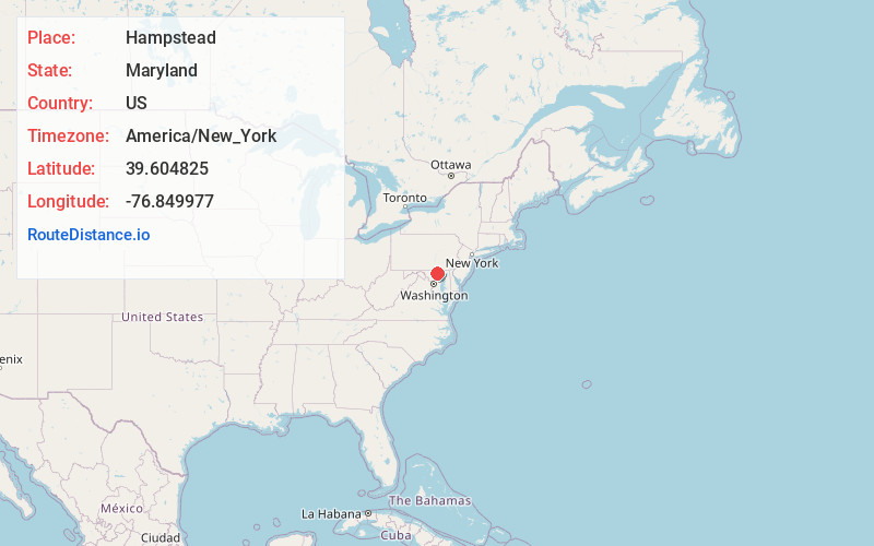
Full AddressHampstead, MD 21074
-
Coordinates39.6048253, -76.8499774
-
LocationHampstead , Maryland , US
-
TimezoneAmerica/New_York
-
Current Local Time5:45:03 AM America/New_YorkFriday, June 6, 2025
-
Website
-
Page Views0
About Hampstead
Hampstead is a town in Carroll County in the U.S. state of Maryland. The population was 6,323 at the 2010 census.


Nearby Places
Found 10 places within 50 miles

Westminster
8.0 mi
12.9 km
Westminster, MD
Get directions

Reisterstown
9.4 mi
15.1 km
Reisterstown, MD
Get directions

West Manheim Township
11.1 mi
17.9 km
West Manheim Township, PA
Get directions

Owings Mills
13.3 mi
21.4 km
Owings Mills, MD
Get directions

Parkville
13.6 mi
21.9 km
Parkville, PA 17331
Get directions

Cockeysville
13.9 mi
22.4 km
Cockeysville, MD
Get directions
Garrison
14.5 mi
23.3 km
Garrison, MD
Get directions

Eldersburg
14.9 mi
24.0 km
Eldersburg, MD
Get directions

Hanover
15.3 mi
24.6 km
Hanover, PA 17331
Get directions
Conewago Township
15.8 mi
25.4 km
Conewago Township, PA
Get directions
Location Links
Local Weather
Weather Information
Coming soon!
Location Map
Static map view of Hampstead, Maryland
Browse Places by Distance
Places within specific distances from Hampstead
Short Distances
Long Distances
Click any distance to see all places within that range from Hampstead. Distances shown in miles (1 mile ≈ 1.61 kilometers).