Distance to Hamshire, Texas

Calculating Your Route
Just a moment while we process your request...
Location Information
-
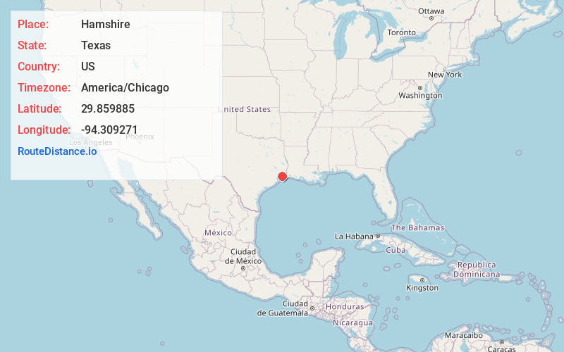
Full AddressHamshire, TX 77622
-
Coordinates29.8598847, -94.3092707
-
LocationHamshire , Texas , US
-
TimezoneAmerica/Chicago
-
Current Local Time12:42:33 PM America/ChicagoFriday, June 6, 2025
-
Page Views0
About Hamshire
Hamshire is an unincorporated community and census designated place in western Jefferson County, Texas, United States. It is part of the Beaumont–Port Arthur Metropolitan Statistical Area and located on State Highway 124 twenty miles southwest of Beaumont.

Nearby Places
Found 10 places within 50 miles

Winnie
5.3 mi
8.5 km
Winnie, TX 77665
Get directions

Fannett
5.8 mi
9.3 km
Fannett, TX 77705
Get directions

Stowell
6.6 mi
10.6 km
Stowell, TX 77665
Get directions

Beaumont
18.7 mi
30.1 km
Beaumont, TX
Get directions
Central Gardens
20.0 mi
32.2 km
Central Gardens, TX
Get directions

Sour Lake
20.3 mi
32.7 km
Sour Lake, TX 77659
Get directions

Nederland
20.6 mi
33.2 km
Nederland, TX
Get directions

Port Arthur
22.2 mi
35.7 km
Port Arthur, TX
Get directions

Port Neches
22.9 mi
36.9 km
Port Neches, TX
Get directions

Anahuac
23.2 mi
37.3 km
Anahuac, TX 77514
Get directions
Location Links
Local Weather
Weather Information
Coming soon!
Location Map
Static map view of Hamshire, Texas
Browse Places by Distance
Places within specific distances from Hamshire
Short Distances
Long Distances
Click any distance to see all places within that range from Hamshire. Distances shown in miles (1 mile ≈ 1.61 kilometers).