Distance to Hand Valley, Arkansas

Calculating Your Route
Just a moment while we process your request...
Location Information
-
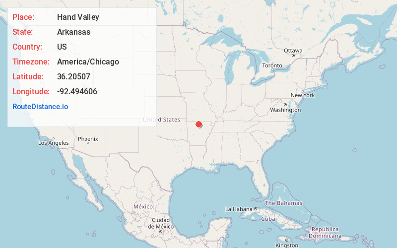
Full AddressHand Valley, AR 72634
-
Coordinates36.2050695, -92.4946059
-
LocationArkansas , US
-
TimezoneAmerica/Chicago
-
Current Local Time1:35:50 PM America/ChicagoMonday, June 2, 2025
-
Page Views0
Nearby Places
Found 10 places within 50 miles

Rea Valley
2.8 mi
4.5 km
Rea Valley, AR 72634
Get directions

Buffalo City
3.9 mi
6.3 km
Buffalo City, AR 72653
Get directions

Buford
4.6 mi
7.4 km
Buford, AR 72653
Get directions

Cotter
5.0 mi
8.0 km
Cotter, AR
Get directions

Gassville
5.7 mi
9.2 km
Gassville, AR 72635
Get directions
Cartney
6.3 mi
10.1 km
Cartney, AR 72653
Get directions
Advance
7.1 mi
11.4 km
Advance, AR 72658
Get directions

Flippin
7.2 mi
11.6 km
Flippin, AR
Get directions
Shipp
7.5 mi
12.1 km
Shipp, AR 72658
Get directions
Whiteville
7.8 mi
12.6 km
Whiteville, AR 72635
Get directions
Location Links
Local Weather
Weather Information
Coming soon!
Location Map
Static map view of Hand Valley, Arkansas
Browse Places by Distance
Places within specific distances from Hand Valley
Short Distances
Long Distances
Click any distance to see all places within that range from Hand Valley. Distances shown in miles (1 mile ≈ 1.61 kilometers).