Distance to Hanging Rock, West Virginia

Calculating Your Route
Just a moment while we process your request...
Location Information
-
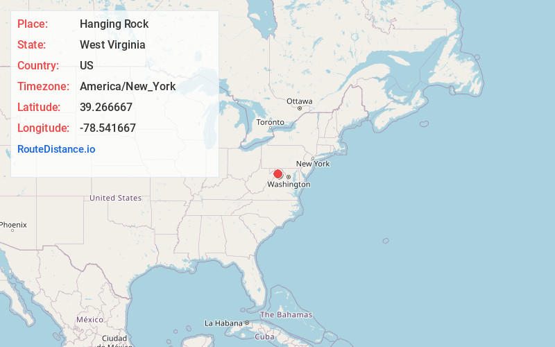
Full AddressHanging Rock, WV 26704
-
Coordinates39.266667, -78.541667
-
LocationHanging Rock , West Virginia , US
-
TimezoneAmerica/New_York
-
Current Local Time10:40:40 PM America/New_YorkWednesday, May 28, 2025
-
Page Views0
About Hanging Rock
Hanging Rock is an unincorporated community in Hampshire County in the U.S. state of West Virginia. Hanging Rock is named for the "Hanging Rock" outcrop that hangs over the Northwestern Turnpike. It should not be confused with the plural "Hanging Rocks" over the South Branch Potomac River north of Romney at Wapocomo.

Nearby Places
Found 10 places within 50 miles

Bubbling Springs
4.5 mi
7.2 km
Bubbling Springs, WV 26711
Get directions
Hooks Mills
4.5 mi
7.2 km
Hooks Mills, WV 26711
Get directions

Hampshire County
4.9 mi
7.9 km
Hampshire County, WV
Get directions
Davis Ford
5.3 mi
8.5 km
Davis Ford, WV 26808
Get directions

Augusta
5.5 mi
8.9 km
Augusta, WV 26704
Get directions

Delray
6.0 mi
9.7 km
Delray, WV 26704
Get directions

Capon Bridge
6.0 mi
9.7 km
Capon Bridge, WV 26711
Get directions
Yellow Spring
6.1 mi
9.8 km
Yellow Spring, WV 26808
Get directions
Hainesville
6.5 mi
10.5 km
Hainesville, WV 26704
Get directions
Frenchburg
7.2 mi
11.6 km
Frenchburg, WV 26757
Get directions
Location Links
Local Weather
Weather Information
Coming soon!
Location Map
Static map view of Hanging Rock, West Virginia
Browse Places by Distance
Places within specific distances from Hanging Rock
Short Distances
Long Distances
Click any distance to see all places within that range from Hanging Rock. Distances shown in miles (1 mile ≈ 1.61 kilometers).