Distance to Hannawa Falls, New York

Calculating Your Route
Just a moment while we process your request...
Location Information
-
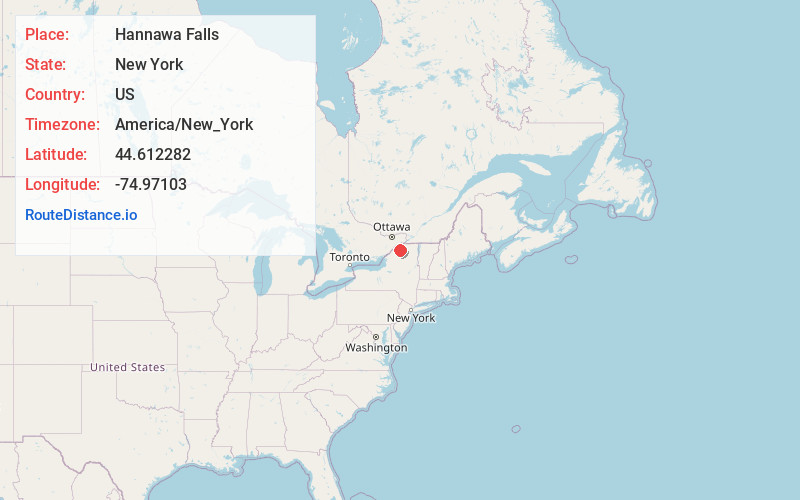
Full AddressHannawa Falls, NY
-
Coordinates44.612282, -74.9710304
-
LocationHannawa Falls , New York , US
-
TimezoneAmerica/New_York
-
Current Local Time9:14:19 AM America/New_YorkSaturday, May 31, 2025
-
Page Views0
About Hannawa Falls
Hannawa Falls is a hamlet and census-designated place in St. Lawrence County, New York, United States. Its population was 1,042 as of the 2010 census. Hannawa Falls has a post office with ZIP code 13647. New York State Route 56 passes through the community.


Nearby Places
Found 10 places within 50 miles

Potsdam
4.0 mi
6.4 km
Potsdam, NY 13676
Get directions

Parishville
7.8 mi
12.6 km
Parishville, NY
Get directions
Stockholm Center
12.3 mi
19.8 km
Stockholm Center, NY 13697
Get directions
Norfolk
13.1 mi
21.1 km
Norfolk, NY
Get directions
Hopkinton
14.2 mi
22.9 km
Hopkinton, NY 12965
Get directions
Russell
15.4 mi
24.8 km
Russell, NY 13684
Get directions

Louisville
19.8 mi
31.9 km
Louisville, NY 13662
Get directions
De Kalb
19.9 mi
32.0 km
De Kalb, NY 13630
Get directions
Waddington
20.8 mi
33.5 km
Waddington, NY 13694
Get directions
Dickinson Center
21.8 mi
35.1 km
Dickinson Center, NY 12930
Get directions
Location Links
Local Weather
Weather Information
Coming soon!
Location Map
Static map view of Hannawa Falls, New York
Browse Places by Distance
Places within specific distances from Hannawa Falls
Short Distances
Long Distances
Click any distance to see all places within that range from Hannawa Falls. Distances shown in miles (1 mile ≈ 1.61 kilometers).